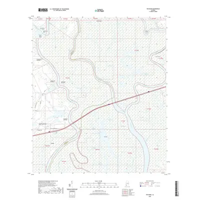
2020 Map of The Basin
USGS Topo · Published 2020About this map
Creola sits at the western edge of a dense alluvial labyrinth where the Mobile River and Middle River fracture into a complex network of bayous and lakes. This 2020 landscape is defined by its watery geography, featuring notable river landmarks such as Twentyseven Mile Bluff, Twenty Four Mile Bluff, and Twentyone Mile Bluff that mark the winding course of the main channel. The intersection of infrastructure and nature is evident where Interstate 65 cuts across the wetlands of The Basin, passing near Negro Lake and the Mark Reynolds/North Mobile County Airport. Genealogists and local historians can locate Smiths Cem near Holman and trace the historical boundaries between Mobile and Baldwin counties which weave through the center of the river system.
Find a feature on this map
49 named features on this map. Tap any name to fly to it.
Don’t see what you’re looking for? This feature index may not catch every label — zoom into the map to look around manually.
Map Details
Editions of this 2020 The Basin Map
This is the sole edition of this map. No revisions or reprints were ever made.
Other maps of this area

1941 · Chickasaw
USGS Topo · 1:31,680

1941 · Bay Minette
USGS Topo · 1:62,500

1941 · Creola
USGS Topo · 1:62,500

1942 · Hurricane
USGS Topo · 1:31,680
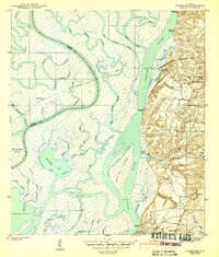
1943 · Hurricane
USGS Topo · 1:31,680

1943 · Creola
USGS Topo · 1:62,500

1943 · Chickasaw
USGS Topo · 1:31,680

1943 · Bay Minette
USGS Topo · 1:62,500

1943 · Tensaw
USGS Topo · 1:62,500

1943 · Citronelle
USGS Topo · 1:62,500