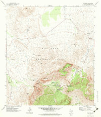
1971 Map of The Basin
USGS Topo · Published 1983About this map
Chisos Mountains topography dominates this 1970s survey, detailing the heart of Big Bend National Park before the modernization of more recent decades. The map illustrates the central hub of the park's visitor services at the Campground, Outdoor Theater, and the Chisos Mountain Lodge, situated within a high-elevation basin ringed by formidable peaks like Casa Grande Peak and Pulliam Peak. The landscape is a study in verticality and water management, where the drainage from Cattail Creek and Ash Creek meets significant vertical drops such as Cattail Falls and the iconic gap known as The Window. Evidence of earlier land use survives through labels for the Old Ranch and various remote water sources like Gano Spring and Government Spring, while the primitive network of the Pack Trail and Apache Canyon Trail provides a look at the backcountry routes of the era.
Find a feature on this map
49 named features on this map. Tap any name to fly to it.
Don’t see what you’re looking for? This feature index may not catch every label — zoom into the map to look around manually.
Map Details
Editions of this 1971 The Basin Map
2 editions found
Other maps of this area

1903 · Chisos Mountains
USGS Topo · 1:125,000

1905 · Chisos Mountains
USGS Topo · 1:125,000

1959 · Emory Peak
USGS Topo · 1:250,000

1965 · Emory Peak
USGS Topo · 1:250,000

1971 · Glenn Spring
USGS Topo · 1:24,000

1971 · Cerro Castellan
USGS Topo · 1:24,000
1971 · Grapevine Hills
USGS Topo · 1:24,000
1971 · Christmas Mountians
USGS Topo · 1:24,000
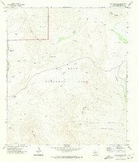
1971 · Tule Mountain
USGS Topo · 1:24,000
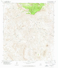
1971 · Emory Peak
USGS Topo · 1:24,000