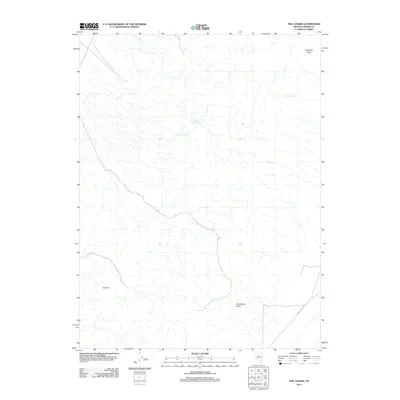
2011 Map of The Cedars
USGS Topo · Published 2011About this map
The Cedars settlement area sits within a landscape defined by critical water sources in this Nevada territory. This high-desert terrain in Lander County is characterized by numerous isolated water points such as Watt Creek Spring, Watt Spring Number Three, and Blue Rock Spring, which historically dictated the movement of livestock and human transit through the region. The map highlights the significant landform of Horseshoe Basin to the south and the prominent Elephant Head elevation in the northeast corner. While much of the area remains open rangeland, the presence of Carico Valley Rd provides the primary arterial connection through the basin, following the natural drainage patterns of the dry creek beds. This 2011 survey documents the persistent importance of named springs like Rock Spring in an environment where water remains the most vital geographical feature.
Find a feature on this map
8 named features on this map. Tap any name to fly to it.
Don’t see what you’re looking for? This feature index may not catch every label — zoom into the map to look around manually.
Map Details
Editions of this 2011 The Cedars Map
This is the sole edition of this map. No revisions or reprints were ever made.
Other maps of this area

1926 · Roberts Mountains
USGS Topo · 1:250,000

1929 · Roberts Mountains
USGS Topo · 1:250,000

1932 · Sonoma Range
USGS Topo · 1:250,000

1939 · Sonoma Range
USGS Topo · 1:250,000

1955 · Millett
USGS Topo · 1:250,000

1955 · Winnemucca
USGS Topo · 1:250,000

1956 · Hall Creek
USGS Topo · 1:62,500

1958 · Winnemucca
USGS Topo · 1:250,000

1959 · Millett
USGS Topo · 1:250,000

1961 · The Cedars
USGS Topo · 1:62,500