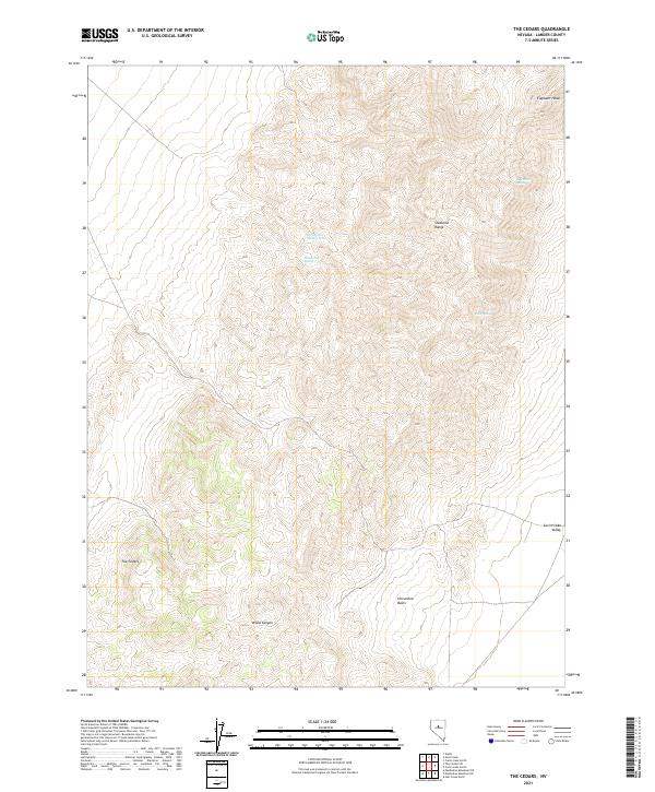
2021 Map of The Cedars
USGS Topo · Published 2021About this map
The high elevations of the Shoshone Range define this high-desert landscape in Lander County. Named peaks and ridges such as Elephant Head dominate the northern terrain, while the eastern slope descends toward the Carico Lake Valley. Human presence is sparsely marked at The Cedars, a location situated within the drainage patterns of Wood Canyon. Water sources are critical landmarks in this environment, evidenced by the scattered distribution of Watt Spring Number Three, Watt Creek Spring, Rock Spring, and Blue Rock Spring. The map documents the complex topography of the Horseshoe Basin, illustrating the importance of natural springs for both livestock and wildlife in the Great Basin region during the early twenty-first century.
Find a feature on this map
14 named features on this map. Tap any name to fly to it.
Don’t see what you’re looking for? This feature index may not catch every label — zoom into the map to look around manually.
Map Details
Editions of this 2021 The Cedars Map
This is the sole edition of this map. No revisions or reprints were ever made.
Other maps of this area

1926 · Roberts Mountains
USGS Topo · 1:250,000

1929 · Roberts Mountains
USGS Topo · 1:250,000

1932 · Sonoma Range
USGS Topo · 1:250,000

1939 · Sonoma Range
USGS Topo · 1:250,000

1955 · Millett
USGS Topo · 1:250,000

1955 · Winnemucca
USGS Topo · 1:250,000

1956 · Hall Creek
USGS Topo · 1:62,500

1958 · Winnemucca
USGS Topo · 1:250,000

1959 · Millett
USGS Topo · 1:250,000

1961 · The Cedars
USGS Topo · 1:62,500