Loading...
Loading map...1934 Map of The Dalles
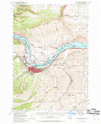
USGS Topo · Published 1941About this map
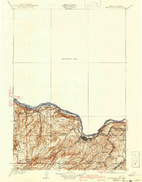
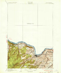
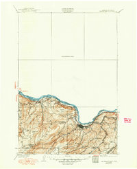
The Columbia River forms the central artery of this 1930s landscape, serving as the border between Wasco County, Oregon, and Klickitat County, Washington. At this time, the Union Pacific System, Great Northern Ry, and S P & S Ry converge near The Dalles, highlighting the town's role as a major regional transit hub before later dam projects altered the river's character. The presence of Threemile Rapids and a nearby Canal reflect the navigation challenges of the era.
Find a feature on this map
40 named features on this map. Tap any name to fly to it.
Don’t see what you’re looking for? This feature index may not catch every label — zoom into the map to look around manually.
Map Details
Date Portrayed1934
Date Published1941
PublisherU.S. Geological Survey
Map TypeTopographic
Scale1:125,000
Physical Dimensions15.5 x 19.8 inches
Editions of this 1934 The Dalles Map
4 editions found

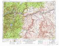
Historical Maps of The Dalles Through Time
5 maps found


Featured Locations
Source Details
SourceU.S. Geological Survey
CopyrightPublic Domain