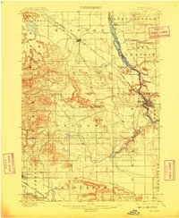
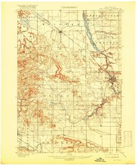
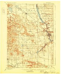
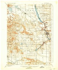
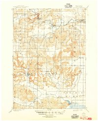
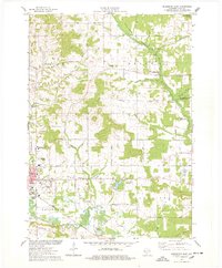
1901 Map of The Dells
USGS Topo · Published 1909About this map
The Wisconsin River carves through this early twentieth-century landscape, revealing the iconic geological formations that define the region. Near the settlement of Kilbourn, the river passes through the narrow, rocky corridors of the Lower Dells, flanked by distinctive landmarks like Steamboat Rock and Elephants Back. The map highlights the intricate tributary systems and canyons including Witches Gulch and Coldwater Canyon, which were already established as notable terrain features before widespread modernization.
Find a feature on this map
43 named features on this map. Tap any name to fly to it.
Don’t see what you’re looking for? This feature index may not catch every label — zoom into the map to look around manually.
Map Details
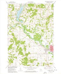
Editions of this 1901 The Dells Map
6 editions found

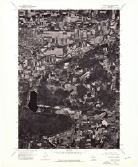
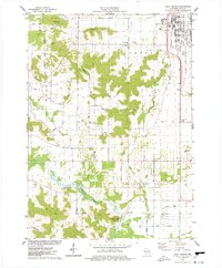
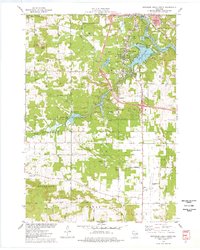
Historical Maps of Reedsburg Through Time
17 maps found
1901 Denzer
Sauk County, WI
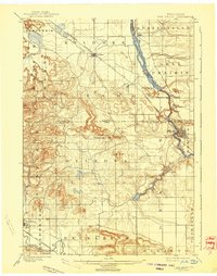
1901 The Dells
Sauk County, WI
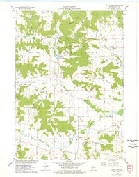
1974 Baraboo NW
Sauk County, WI
1975 Black Hawk
Sauk County, WI

1975 Lewiston
Sauk County, WI
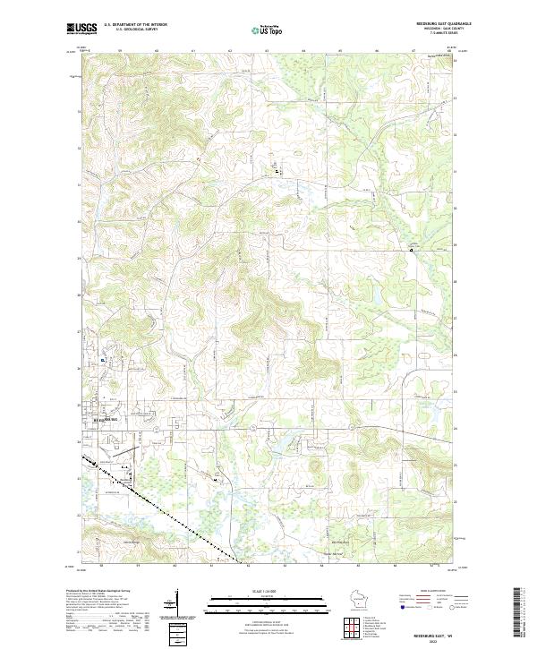
1975 Reedsburg East
Sauk County, WI
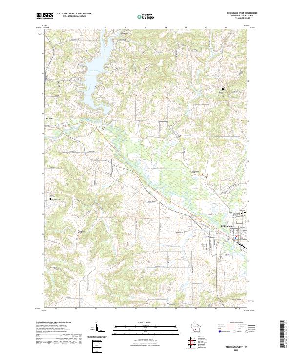
1975 Reedsburg West
Sauk County, WI
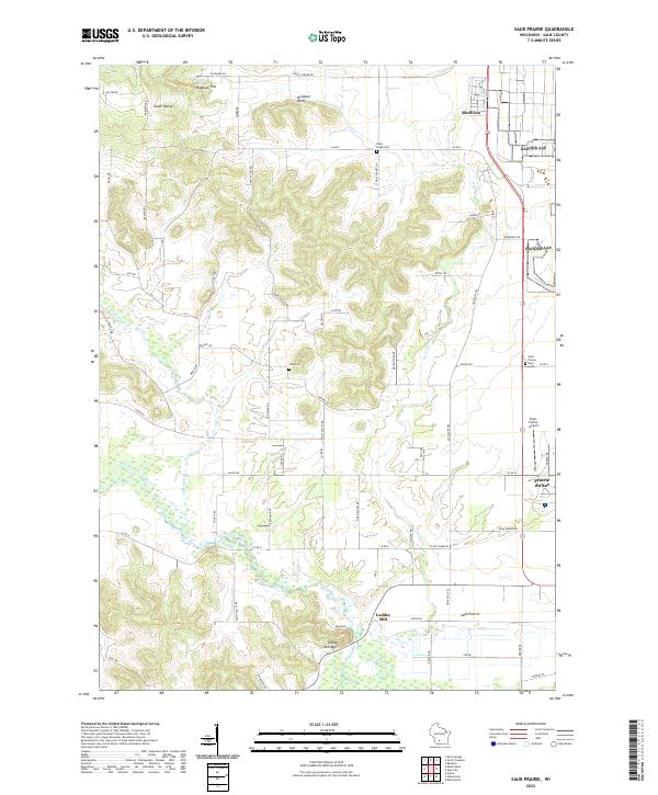
1975 Sauk Prairie
Sauk County, WI
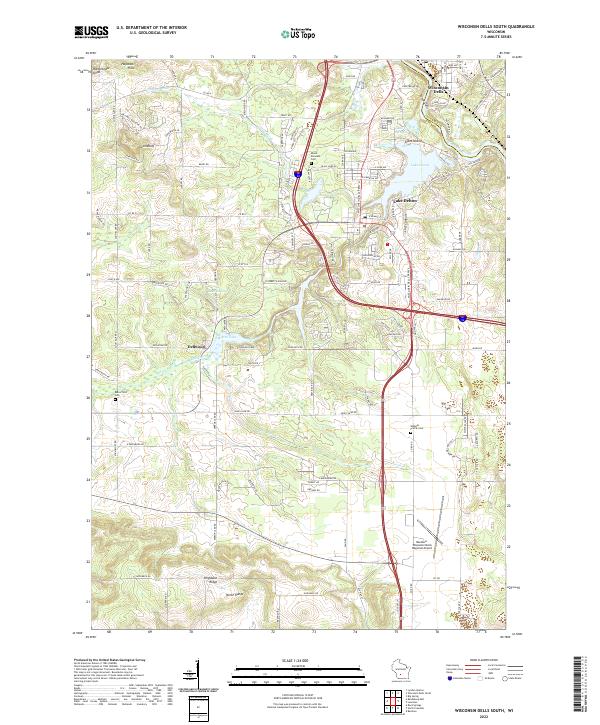
1975 Wisconsin Dells South
Sauk County, WI
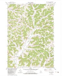
1983 Bear Valley
Sauk County, WI
2022 Bear Valley
Sauk County, WI
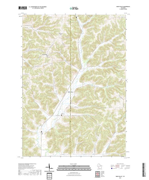
2022 Black Hawk
Sauk County, WI
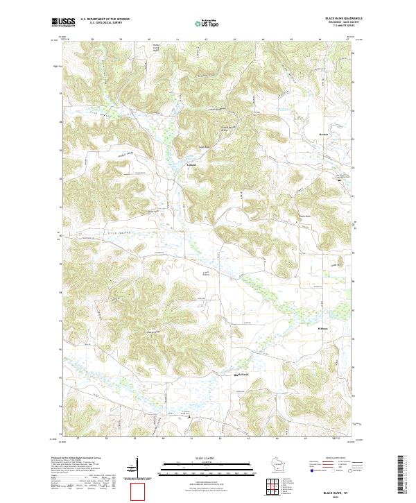
2022 Lewiston
Sauk County, WI
2022 Reedsburg East
Sauk County, WI
2022 Reedsburg West
Sauk County, WI
2022 Sauk Prairie
Sauk County, WI
2022 Wisconsin Dells South
Sauk County, WI