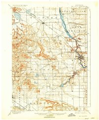
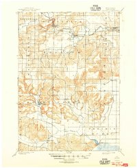
1901 Map of The Dells
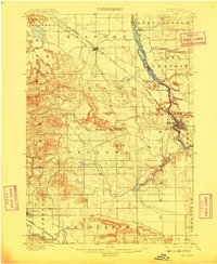
USGS Topo · Published 1935About this map
Wisconsin River currents carve through the unique geological formations of the Lower Dells in this late 19th-century survey of the Sauk County region. The landscape is defined by the sharp contrast between the deeply incised river corridor and the high bluffs such as Sheep Pasture Bluff and Coon Bluff. The town of Kilbourn serves as the primary river hub, while the Chicago Milwaukee and St. Paul R. R. cuts diagonally across the townships of Kildare and Lyndon. Distinctive rock features and narrow passages like Witches Gulch, Steamboat Rock, and Coldwater Canyon illustrate the early identification of the area as a significant natural landmark. To the south, Mirror Lake and Dell Creek feed into the river system, while the town of Delton sits at the nexus of the drainage basin and the rising hills of Dellona.
Find a feature on this map
43 named features on this map. Tap any name to fly to it.
Don’t see what you’re looking for? This feature index may not catch every label — zoom into the map to look around manually.
Map Details
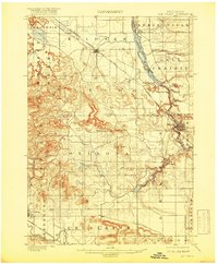
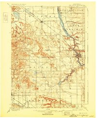
Editions of this 1901 The Dells Map
6 editions found

Historical Maps of Reedsburg Through Time
17 maps found
1901 Denzer
Sauk County, WI
1901 The Dells
Sauk County, WI
1974 Baraboo NW
Sauk County, WI
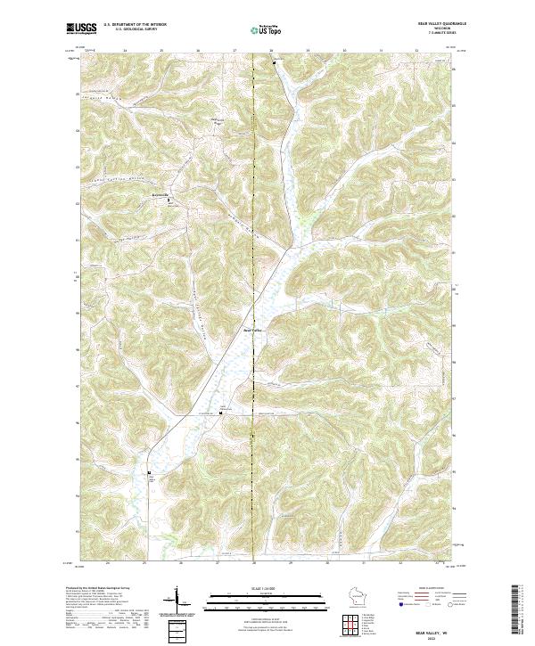
1975 Black Hawk
Sauk County, WI

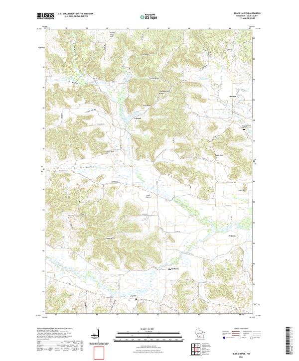
1975 Lewiston
Sauk County, WI
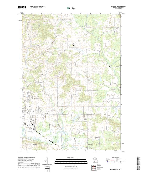
1975 Reedsburg East
Sauk County, WI
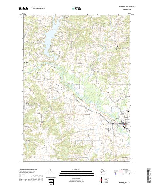
1975 Reedsburg West
Sauk County, WI
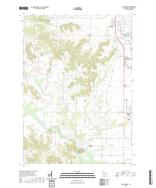
1975 Sauk Prairie
Sauk County, WI
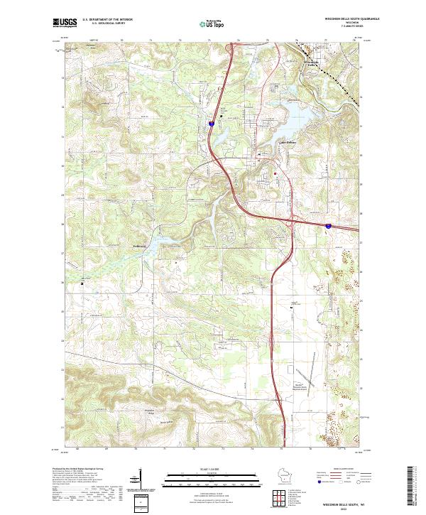
1975 Wisconsin Dells South
Sauk County, WI
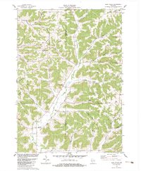
1983 Bear Valley
Sauk County, WI
2022 Bear Valley
Sauk County, WI
2022 Black Hawk
Sauk County, WI
2022 Lewiston
Sauk County, WI
2022 Reedsburg East
Sauk County, WI
2022 Reedsburg West
Sauk County, WI
2022 Sauk Prairie
Sauk County, WI
2022 Wisconsin Dells South
Sauk County, WI