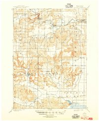
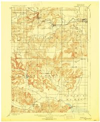
1901 Map of Denzer
USGS Topo · Published 1948About this map
Baraboo River meanders through the northern townships of Excelsior and Baraboo, anchoring a landscape defined by sharp elevation changes and early Wisconsin rail transport. The Chicago and Northwestern railroad tracks follow the river valley, serving the growing settlements of Ableman and North Freedom. To the south, the terrain becomes increasingly complex as the East Branch Honey Creek and North Branch Honey Creek carve through the townships of Honey Creek and Troy. This late 19th-century survey captures several small family-named crossroads and rural hubs, including Pains Corners, Kings Corners, and Witwen, which served the surrounding agricultural community. Geologic landmarks like the striking Tower Rock and the peculiar Pewits Nest stand out amidst the drainage patterns of Seeley Creek and Otter Creek, marking a period before modern highway expansion altered these local valley corridors.
Find a feature on this map
31 named features on this map. Tap any name to fly to it.
Don’t see what you’re looking for? This feature index may not catch every label — zoom into the map to look around manually.
Map Details
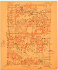
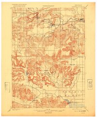
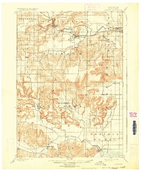
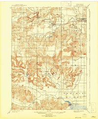
Editions of this 1901 Denzer Map
7 editions found
Other maps of this area

1895 · Baraboo
USGS Topo · 1:62,500

1901 · Denzer
USGS Topo · 1:62,500

1901 · The Dells
USGS Topo · 1:62,500

1902 · Briggsville
USGS Topo · 1:62,500

1905 · Richland Center
USGS Topo · 1:125,000

1907 · Cross Plains
USGS Topo · 1:62,500

1908 · Baraboo
USGS Topo · 1:62,500

1909 · Cross Plains
USGS Topo · 1:62,500

1920 · Blue Mounds
USGS Topo · 1:62,500

1922 · Blue Mounds
USGS Topo · 1:62,500