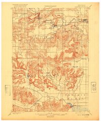
1901 Map of Denzer
USGS Topo · Published 1920About this map
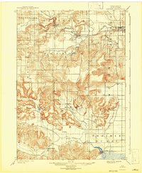
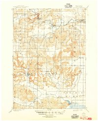
The Baraboo River winds through the northern reaches of Sauk County, serving as the primary corridor for the Chicago and Northwestern railroad at the turn of the century. This transportation network supported early settlements like Ableman and North Freedom, while the surrounding landscape is defined by the intricate branching of Honey Creek. The topography is marked by significant landmarks such as Tower Rock, which rises amidst the drainage of the East Branch Honey Creek and North Branch Honey Creek. To the south, Lodi Mill stands near a small basin, anchoring a rural economy that relied on the area's numerous streams and creeks. Small hamlets like Kings Corners, Pains Corners, and Witwen provide a clear view of the late-19th-century settlement pattern in south-central Wisconsin, where townships like Sumpter and Honey Creek were established long before modern development altered the land.
Find a feature on this map
32 named features on this map. Tap any name to fly to it.
Don’t see what you’re looking for? This feature index may not catch every label — zoom into the map to look around manually.
Map Details
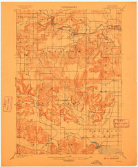
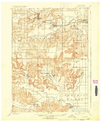
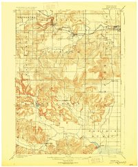
Editions of this 1901 Denzer Map
7 editions found
Other maps of this area

1895 · Baraboo
USGS Topo · 1:62,500

1901 · Denzer
USGS Topo · 1:62,500

1901 · The Dells
USGS Topo · 1:62,500

1902 · Briggsville
USGS Topo · 1:62,500

1905 · Richland Center
USGS Topo · 1:125,000

1907 · Cross Plains
USGS Topo · 1:62,500

1908 · Baraboo
USGS Topo · 1:62,500

1909 · Cross Plains
USGS Topo · 1:62,500

1920 · Blue Mounds
USGS Topo · 1:62,500

1922 · Blue Mounds
USGS Topo · 1:62,500