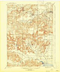
1901 Map of Denzer
USGS Topo · Published 1942About this map
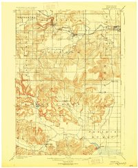
Tower Rock stands as a prominent landmark in the southwestern portion of this Sauk County landscape, overlooking the complex drainage of Honey Creek and its various branches. At the turn of the century, the region's economy was anchored by the Baraboo River in the north and the Chicago and Northwestern railroad, which supported settlements like Ableman and North Freedom. The map captures a transition from the industrial activity at Lodi Mill and Lyons to the more dispersed agricultural communities of Leland, Witwen, and Denzer. The intricate contour work by Wm. H. Griffin reveals the deeply dissected terrain of the Baraboo Range, where small creeks like Skillet Creek and Seeley Creek have carved distinct valleys between the ridges of Freedom and Sumpter townships. This 1901 survey documents the early infrastructure of roads and farmsteads before modern highway development altered the local rural character.
Find a feature on this map
34 named features on this map. Tap any name to fly to it.
Don’t see what you’re looking for? This feature index may not catch every label — zoom into the map to look around manually.
Map Details
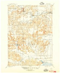
Editions of this 1901 Denzer Map
7 editions found
Other maps of this area

1895 · Baraboo
USGS Topo · 1:62,500

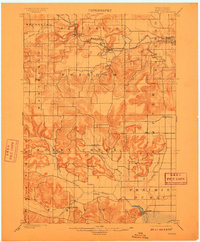
1901 · Denzer
USGS Topo · 1:62,500

1901 · The Dells
USGS Topo · 1:62,500

1902 · Briggsville
USGS Topo · 1:62,500

1905 · Richland Center
USGS Topo · 1:125,000

1907 · Cross Plains
USGS Topo · 1:62,500

1908 · Baraboo
USGS Topo · 1:62,500

1909 · Cross Plains
USGS Topo · 1:62,500

1920 · Blue Mounds
USGS Topo · 1:62,500

1922 · Blue Mounds
USGS Topo · 1:62,500