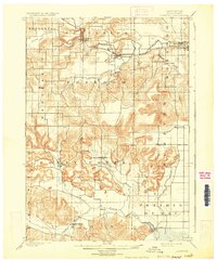
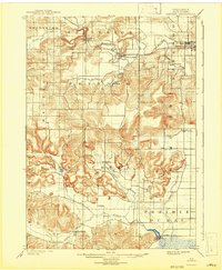
1901 Map of Denzer
USGS Topo · Published 1929About this map
The Baraboo River winds through the northern reaches of this Sauk County landscape, where the Chicago and Northwestern railroad tracks connect the early settlements of Ableman and North Freedom. The terrain is defined by dramatic bluffs and natural landmarks such as Pewits Nest and Tower Rock, which rise above the surrounding farmland. These features reflect the complex glacial and geologic history of the region, specifically near the Narrows.
Find a feature on this map
31 named features on this map. Tap any name to fly to it.
Don’t see what you’re looking for? This feature index may not catch every label — zoom into the map to look around manually.
Map Details
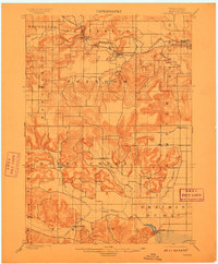
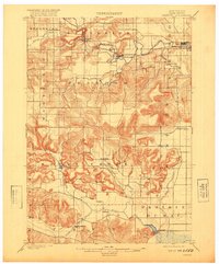
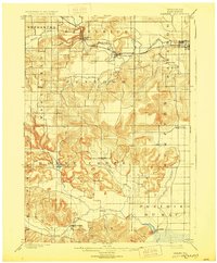
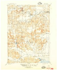
Editions of this 1901 Denzer Map
7 editions found
Other maps of this area

1895 · Baraboo
USGS Topo · 1:62,500

1901 · Denzer
USGS Topo · 1:62,500

1901 · The Dells
USGS Topo · 1:62,500

1902 · Briggsville
USGS Topo · 1:62,500

1905 · Richland Center
USGS Topo · 1:125,000

1907 · Cross Plains
USGS Topo · 1:62,500

1908 · Baraboo
USGS Topo · 1:62,500

1909 · Cross Plains
USGS Topo · 1:62,500

1920 · Blue Mounds
USGS Topo · 1:62,500

1922 · Blue Mounds
USGS Topo · 1:62,500