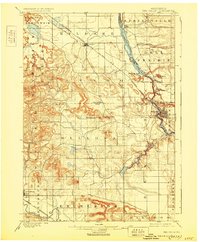
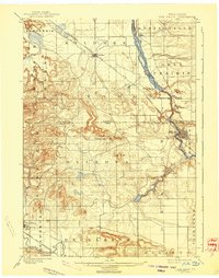
1901 Map of The Dells
USGS Topo · Published 1930About this map
The Wisconsin River carves a dramatic path through this 1901 survey, showcasing the early layout of the Dells region before it became a modernized tourism hub. The settlement of Kilbourn, later renamed, serves as a primary rail and river focal point, situated across from the township of Newport. Geologists and local historians will find the detailed naming of narrow river features particularly valuable, including Witches Gulch, Coldwater Canyon, and Artists Glen, as well as prominent rock formations like Steamboat Rock and Elephants Back.
Find a feature on this map
40 named features on this map. Tap any name to fly to it.
Don’t see what you’re looking for? This feature index may not catch every label — zoom into the map to look around manually.
Map Details
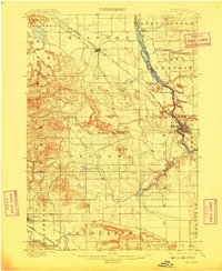
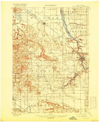
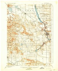
Editions of this 1901 The Dells Map
6 editions found
Other maps of this area

1895 · Baraboo
USGS Topo · 1:62,500

1901 · Denzer
USGS Topo · 1:62,500

1901 · The Dells
USGS Topo · 1:62,500

1902 · Briggsville
USGS Topo · 1:62,500

1905 · Richland Center
USGS Topo · 1:125,000

1908 · Baraboo
USGS Topo · 1:62,500

1921 · Mauston
USGS Topo · 1:62,500

1956 · Reedsburg
USGS Topo · 1:62,500

1957 · Wisconsin Dells
USGS Topo · 1:62,500

1957 · Madison
USGS Topo · 1:250,000