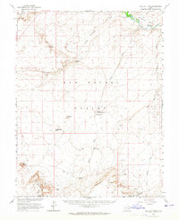
1963 Map of The Flat Tops
USGS Topo · Published 1965About this map
The San Rafael Desert dominates this 1963 survey, revealing a landscape defined by isolated water sources and deep canyon topography in Emery and Wayne counties. Mapping conducted in cooperation with the Atomic Energy Commission highlights the era's focus on resource exploration, noted by various prospects and a mine scattered across the arid terrain. The remote nature of the region is underscored by the presence of a Landing Field and a Landing Strip, likely serving as vital links for surveyors and geologists working far from established roads.
Find a feature on this map
32 named features on this map. Tap any name to fly to it.
Don’t see what you’re looking for? This feature index may not catch every label — zoom into the map to look around manually.
Map Details
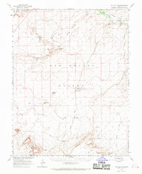
Editions of this 1963 The Flat Tops Map
2 editions found
Other maps of this area

1885 · San Rafael
USGS Topo · 1:250,000

1953 · Tidwell 2 SW
USGS Topo · 1:24,000

1953 · Tidwell 3 NW
USGS Topo · 1:24,000

1953 · The Spur
USGS Topo · 1:62,500

1953 · Temple Mtn
USGS Topo · 1:62,500

1954 · Stinking Spring Creek 1 SE
USGS Topo · 1:24,000

1954 · Stinking Spring Creek 4 NE
USGS Topo · 1:24,000

1954 · Stinking Spring Creek 4 SE
USGS Topo · 1:24,000

1954 · Tidwell 1 SW
USGS Topo · 1:24,000

1954 · Tidwell 2 SE
USGS Topo · 1:24,000