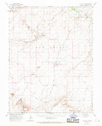
1963 Map of The Flat Tops
USGS Topo · Published 1969About this map
San Rafael River frontage and the high desert plateaus of the Emery and Wayne county line define this mid-century survey. The landscape is marked by a network of drainage systems including Cottonwood Wash, Dugout Wash, and Sweetwater Wash, which cut through the prominent geological formations of The Big Flat Tops and The Reef. Grounded in data from the Atomic Energy Commission, the map records industrial and logistical footprints such as various Prospects, a Mine, and isolated aviation points like the Landing Field and Landing Strip.
Find a feature on this map
31 named features on this map. Tap any name to fly to it.
Don’t see what you’re looking for? This feature index may not catch every label — zoom into the map to look around manually.
Map Details
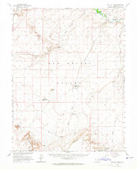
Editions of this 1963 The Flat Tops Map
2 editions found
Other maps of this area

1885 · San Rafael
USGS Topo · 1:250,000

1953 · Tidwell 2 SW
USGS Topo · 1:24,000

1953 · Tidwell 3 NW
USGS Topo · 1:24,000

1953 · The Spur
USGS Topo · 1:62,500

1953 · Temple Mtn
USGS Topo · 1:62,500

1954 · Stinking Spring Creek 1 SE
USGS Topo · 1:24,000

1954 · Stinking Spring Creek 4 NE
USGS Topo · 1:24,000

1954 · Stinking Spring Creek 4 SE
USGS Topo · 1:24,000

1954 · Tidwell 1 SW
USGS Topo · 1:24,000

1954 · Tidwell 2 SE
USGS Topo · 1:24,000