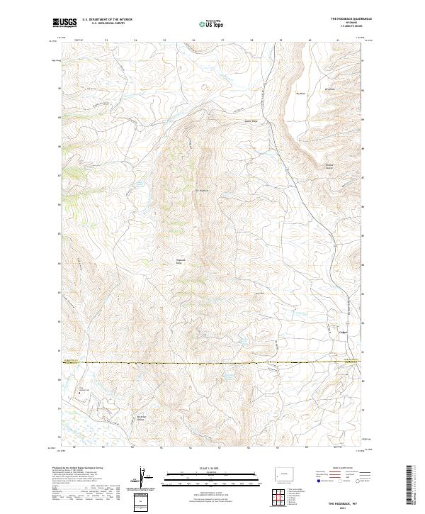
2021 Map of The Hogsback
USGS Topo · Published 2021About this map
The Hogsback and Hogsback Ridge dominate this section of the Wyoming landscape, where the high desert terrain is carved by seasonal drainage and punctuated by critical water sources. The map reveals an area defined by industrial activity and sparse settlement near the Sublette and Lincoln County line. The small community of Calpet sits in the east, while the southwestern corner features the Viola-LaBarge Cem and water management infrastructure like Guyette Ditch Number 1.
Find a feature on this map
52 named features on this map. Tap any name to fly to it.
Don’t see what you’re looking for? This feature index may not catch every label — zoom into the map to look around manually.
Map Details
Editions of this 2021 The Hogsback Map
This is the sole edition of this map. No revisions or reprints were ever made.
Other maps of this area

1945 · Fort Hill
USGS Topo · 1:62,500

1947 · Fort Hill
USGS Topo · 1:62,500

1955 · Preston
USGS Topo · 1:250,000

1958 · Preston
USGS Topo · 1:250,000

1962 · Preston
USGS Topo · 1:250,000

1968 · Names Hill
USGS Topo · 1:24,000

1969 · Chimney Butte
USGS Topo · 1:24,000

1969 · La Barge
USGS Topo · 1:24,000

1969 · Cretaceous Mountain
USGS Topo · 1:24,000
1969 · The Hogsback
USGS Topo · 1:24,000