
1969 Map of La Barge
USGS Topo · Published 1973About this map
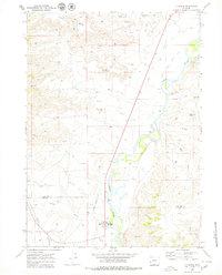
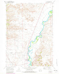
The Green River carves a deep valley through this western Wyoming landscape, where the high desert meets a complex industrial and irrigation network. In the late 1960s, the area around La Barge was defined by intensive energy development, evidenced by the dense grid of oil and gas wells, multiple Pipelines, and the La Barge Landing Area. This activity is balanced by a legacy of ranching and water management, visible through the Island Ditch, Cowdell Ditch, and Waste Ditch that draw from the river to support the surrounding flats. Distinctive topographic markers such as Bird Nipple, The Frog, and Little Mesa break the undulating terrain, while Whelan Bridge serves as a critical crossing point over the Green River. The boundary between Sublette and Lincoln counties crosses the map near Birch Creek, marking a transition between these rugged high-plains districts.
Find a feature on this map
26 named features on this map. Tap any name to fly to it.
Don’t see what you’re looking for? This feature index may not catch every label — zoom into the map to look around manually.
Map Details
Editions of this 1969 La Barge Map
3 editions found
Other maps of this area

1945 · Fort Hill
USGS Topo · 1:62,500

1947 · Fort Hill
USGS Topo · 1:62,500

1955 · Preston
USGS Topo · 1:250,000

1958 · Preston
USGS Topo · 1:250,000

1962 · Preston
USGS Topo · 1:250,000

1968 · Anderson Canyon
USGS Topo · 1:24,000

1968 · Names Hill
USGS Topo · 1:24,000

1969 · Chimney Butte
USGS Topo · 1:24,000
1969 · Milleson Draw
USGS Topo · 1:24,000

1969 · Cretaceous Mountain
USGS Topo · 1:24,000