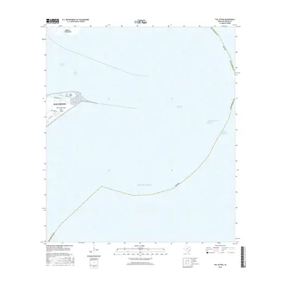
2016 Map of The Jetties
USGS Topo · Published 2016About this map
Galveston and the eastern tip of Galveston Island anchor this coastal survey, where the deep-water passage of Bolivar Roads separates the city from the Bolivar Peninsula. The map focuses on the critical maritime infrastructure of the Texas coast, detailing the complex network of seafaring lanes including the Inner Bar Channel, Outer Bar Channel, and the Houston/Galveston Navigation Channel. These dredged paths through the Gulf Of Mexico emphasize the area's importance as a strategic shipping hub.
Find a feature on this map
16 named features on this map. Tap any name to fly to it.
Don’t see what you’re looking for? This feature index may not catch every label — zoom into the map to look around manually.
Map Details
Editions of this 2016 The Jetties Map
This is the sole edition of this map. No revisions or reprints were ever made.
Other maps of this area

1930 · Galveston
USGS Topo · 1:24,000

1931 · Flake
USGS Topo · 1:24,000

1932 · Bolivar Point
USGS Topo · 1:24,000

1933 · Caplen
USGS Topo · 1:31,680

1933 · The Jetties
USGS Topo · 1:31,680

1933 · Bolivar Point
USGS Topo · 1:31,680

1933 · Flake
USGS Topo · 1:31,680
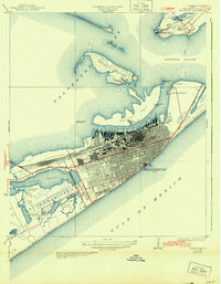
1933 · Galveston
USGS Topo · 1:31,680
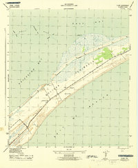
1943 · Flake
USGS Topo · 1:25,000
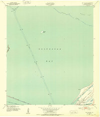
1943 · Port Bolivar
USGS Topo · 1:24,000