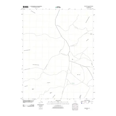
2011 Map of The Knoll
USGS Topo · Published 2011About this map
Canyonlands National Park borders the western reaches of this high-desert landscape, where deep drainages like Hell Roaring Canyon and North Fork Mineral Canyon cut through the plateau. Central to the region is the expansive Big Flat, a notable upland area marked by Big Flat Reservoir. This 2011 survey documents a topography defined by isolate geological markers such as Beehive Butte, Whitbeck Rock, and the eponymous The Knoll.
Find a feature on this map
21 named features on this map. Tap any name to fly to it.
Don’t see what you’re looking for? This feature index may not catch every label — zoom into the map to look around manually.
Map Details
Editions of this 2011 The Knoll Map
This is the sole edition of this map. No revisions or reprints were ever made.
Other maps of this area

1885 · La Sal
USGS Topo · 1:250,000

1951 · The Knoll
USGS Topo · 1:62,500

1951 · Upheaval Dome
USGS Topo · 1:62,500

1952 · Moab 4 NW
USGS Topo · 1:24,000

1952 · Moab 3 NE
USGS Topo · 1:24,000

1952 · Carlisle 2 NW
USGS Topo · 1:24,000

1952 · Moab 3 SE
USGS Topo · 1:24,000

1952 · Carlisle 2 NE
USGS Topo · 1:24,000

1952 · Moab 3 SW
USGS Topo · 1:24,000

1952 · Moab 4 SW
USGS Topo · 1:24,000