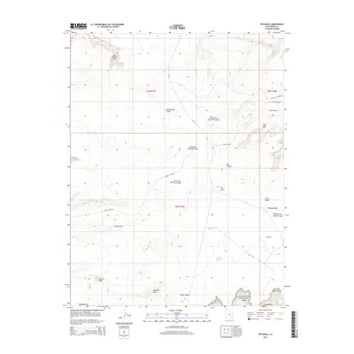
2014 Map of The Knoll
USGS Topo · Published 2014About this map
Canyonlands National Park borders the southeastern corner of this landscape, where the plateau begins its dramatic descent toward the Colorado River system. The high desert floor of Big Flat dominates the southern half of the quadrangle, punctuated by distinct geological landmarks such as Beehive Butte and Whitbeck Rock. To the north, the terrain is defined by a complex network of drainage systems, including the branching corridors of Mineral Canyon and Hell Roaring Canyon.
Find a feature on this map
29 named features on this map. Tap any name to fly to it.
Don’t see what you’re looking for? This feature index may not catch every label — zoom into the map to look around manually.
Map Details
Editions of this 2014 The Knoll Map
This is the sole edition of this map. No revisions or reprints were ever made.
Other maps of this area

1885 · La Sal
USGS Topo · 1:250,000

1951 · The Knoll
USGS Topo · 1:62,500

1951 · Upheaval Dome
USGS Topo · 1:62,500

1952 · Moab 4 NW
USGS Topo · 1:24,000

1952 · Moab 3 NE
USGS Topo · 1:24,000

1952 · Carlisle 2 NW
USGS Topo · 1:24,000

1952 · Moab 3 SE
USGS Topo · 1:24,000

1952 · Carlisle 2 NE
USGS Topo · 1:24,000

1952 · Moab 3 SW
USGS Topo · 1:24,000

1952 · Moab 4 SW
USGS Topo · 1:24,000