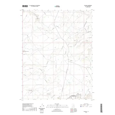
2020 Map of The Knoll
USGS Topo · Published 2020About this map
Canyonlands National Park borders the southern reaches of this plateau landscape, where the high desert terrain is carved by complex drainages. The map reveals a network of primitive roads and trails used by recreationists and ranchers, including the Gemini Bridges Trl and Horsethief/Mineral route. Central to the area is The Knoll, a prominent landmark overlooking the intersection of Mineral Canyon Rd and Island in the Sky Rd.
Find a feature on this map
36 named features on this map. Tap any name to fly to it.
Don’t see what you’re looking for? This feature index may not catch every label — zoom into the map to look around manually.
Map Details
Editions of this 2020 The Knoll Map
This is the sole edition of this map. No revisions or reprints were ever made.
Other maps of this area

1885 · La Sal
USGS Topo · 1:250,000

1951 · The Knoll
USGS Topo · 1:62,500

1951 · Upheaval Dome
USGS Topo · 1:62,500

1952 · Moab 4 NW
USGS Topo · 1:24,000

1952 · Moab 3 NE
USGS Topo · 1:24,000

1952 · Carlisle 2 NW
USGS Topo · 1:24,000

1952 · Moab 3 SE
USGS Topo · 1:24,000

1952 · Carlisle 2 NE
USGS Topo · 1:24,000

1952 · Moab 3 SW
USGS Topo · 1:24,000

1952 · Moab 4 SW
USGS Topo · 1:24,000