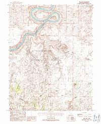
1988 Map of The Loop
USGS Topo · Published 1988About this map
The Colorado River carves a massive, symmetrical oxbow known as The Loop at the northern edge of this 1980s provisional study. Situated within the heart of Canyonlands National Park, the landscape is defined by extreme geologic formations such as the parallel fractures of The Grabens and the intricate spires of The Needles. In the southeast, human presence is centered around the Ranger Station and Squaw Flat Campground, connected by a network of unimproved roads and four-wheel-drive trails including the route over Elephant Hill. The map identifies numerous springs and distinctive landmarks like the Wooden Shoe formation and Squaw Butte, reflecting the desert's reliance on scarce water sources like Soda Spring and Cave Spring. Narrow passages like Devils Lane and Devils Pocket hint at the difficult passage through this labyrinthine section of San Juan County.
Find a feature on this map
25 named features on this map. Tap any name to fly to it.
Don’t see what you’re looking for? This feature index may not catch every label — zoom into the map to look around manually.
Map Details
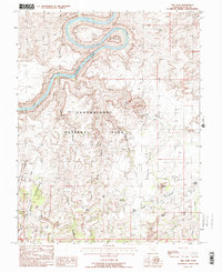
Editions of this 1988 The Loop Map
2 editions found
Other maps of this area

1885 · La Sal
USGS Topo · 1:250,000

1951 · Upheaval Dome
USGS Topo · 1:62,500

1952 · Carlisle 2 SE
USGS Topo · 1:24,000

1952 · Carlisle 2 SW
USGS Topo · 1:24,000

1953 · Carlisle 3 NW
USGS Topo · 1:24,000

1953 · The Needles
USGS Topo · 1:62,500

1954 · Carlisle 4 SW
USGS Topo · 1:24,000

1954 · Carlisle 4 NW
USGS Topo · 1:24,000

1954 · Carlisle 1 SW
USGS Topo · 1:24,000
1954 · Harts Point
USGS Topo · 1:62,500