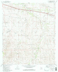
1981 Map of The Narrows
USGS Topo · Published 1981About this map
The Empire Mountains dominate the southwestern reaches of this Pima County landscape, where the rugged terrain meets the vital transportation corridors of the high desert. Historically significant mining activity is centered around the Total Wreck Mine and Hilton Mine, while the infrastructure of the Southern Pacific railroad and a major Pipeline cut through the northern flats near Mescal. This area represents a critical junction of natural resources and industrial transit, evidenced by the scattered water sources like Bootlegger Spring and Alfalfa Well that supported both ranching and railway operations.
Find a feature on this map
32 named features on this map. Tap any name to fly to it.
Don’t see what you’re looking for? This feature index may not catch every label — zoom into the map to look around manually.
Map Details
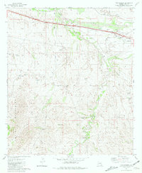
Editions of this 1981 The Narrows Map
2 editions found
Other maps of this area

1904 · Patagonia
USGS Topo · 1:125,000

1904 · Tucson
USGS Topo · 1:125,000

1905 · Patagonia
USGS Topo · 1:125,000

1905 · Tucson
USGS Topo · 1:125,000

1915 · Benson
USGS Topo · 1:125,000

1926 · Whetstone
USGS Topo · 1:62,500

1943 · Benson
USGS Topo · 1:125,000

1945 · Happy Valley
USGS Topo · 1:62,500

1956 · Nogales
USGS Topo · 1:250,000

1956 · Tucson
USGS Topo · 1:250,000