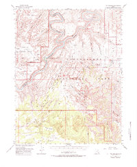
1953 Map of The Needles
USGS Topo · Published 1984About this map
The confluence of the Colorado River and the Green River serves as the central focal point for this 1953 survey of the remote Utah backcountry. This area, largely defined by the sandstone spires of The Needles, shows the early topographic mapping of what would become Canyonlands National Park. The landscape is characterized by intricate canyon systems like Stillwater Canyon and Cataract Canyon, punctuated by distinctive landmarks such as Druid Arch and Beehive Arch.
Find a feature on this map
82 named features on this map. Tap any name to fly to it.
Don’t see what you’re looking for? This feature index may not catch every label — zoom into the map to look around manually.
Map Details
Editions of this 1953 The Needles Map
4 editions found

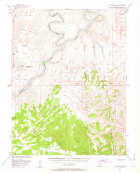
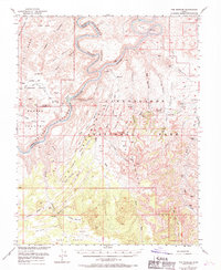
Other maps of this area

1885 · San Rafael
USGS Topo · 1:250,000

1885 · La Sal
USGS Topo · 1:250,000

1886 · Henry Mountains
USGS Topo · 1:250,000

1886 · Abajo
USGS Topo · 1:250,000

1892 · Abajo
USGS Topo · 1:250,000

1892 · Henry Mountains
USGS Topo · 1:250,000

1893 · Abajo
USGS Topo · 1:250,000

1935 · Elk Ridge
USGS Topo · 1:96,000

1940 · Elk Ridge
USGS Topo · 1:125,000

1951 · Upheaval Dome
USGS Topo · 1:62,500