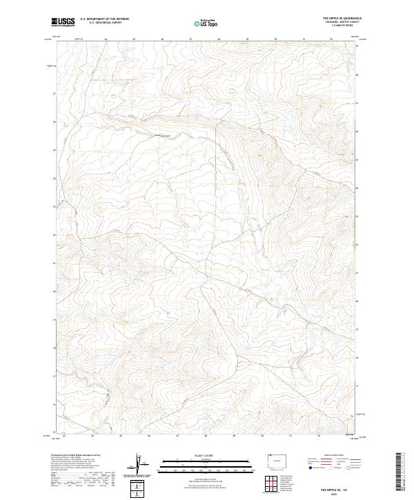
2022 Map of The Nipple SE
USGS Topo · Published 2022About this map
Greasewood Gulch cuts through this high-desert terrain of Moffat County, providing a primary drainage feature for the surrounding plateaus. The landscape is defined by its remote character and the sparse network of county roads that navigate the complex topography, notably Co Rd 50 and Co Rd 42. These routes follow the natural contours of the land, connecting distant sections of the county across the vast public and private land boundaries marked by the Public Land Survey System.
Find a feature on this map
15 named features on this map. Tap any name to fly to it.
Don’t see what you’re looking for? This feature index may not catch every label — zoom into the map to look around manually.
Map Details
Editions of this 2022 The Nipple SE Map
This is the sole edition of this map. No revisions or reprints were ever made.
Other maps of this area

1916 · Craig
USGS Topo · 1:125,000

1954 · Vernal
USGS Topo · 1:250,000

1954 · Craig
USGS Topo · 1:250,000

1957 · Craig
USGS Topo · 1:250,000

1958 · Vernal
USGS Topo · 1:250,000

1958 · Craig
USGS Topo · 1:250,000

1958 · Maybell
USGS Topo · 1:62,500

1960 · Craig
USGS Topo · 1:250,000

1960 · Vernal
USGS Topo · 1:250,000

1962 · Craig
USGS Topo · 1:250,000