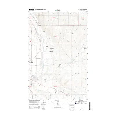
2014 Map of The Pothole
USGS Topo · Published 2014About this map
The Okanogan River corridor defines this landscape, where the agricultural legacy of Providence Orchards meets the higher, arid plateaus of the Colville Indian Reservation. This survey captures the transition from the river valley floor to the namesake depressions of The Pothole and Wanacut Basin to the east. Modern infrastructure, including Wings For Christ Airport and a network of rural roads like Sagebrush Trl and Bide A Wee Rd, weaves through long-established settlements at Riverside and North Omak. Genealogists will find the Riverview Cem situated near the riverbanks, while the topography reveals a rugged history of drainage carved into the earth at Deadhorse Canyon and Pothole Canyon.
Find a feature on this map
54 named features on this map. Tap any name to fly to it.
Don’t see what you’re looking for? This feature index may not catch every label — zoom into the map to look around manually.
Map Details
Editions of this 2014 The Pothole Map
This is the sole edition of this map. No revisions or reprints were ever made.
Other maps of this area

1902 · Osoyoos
USGS Topo · 1:125,000

1904 · Osoyoos
USGS Topo · 1:125,000

1905 · Okanogan
USGS Topo · 1:125,000

1906 · Chopaka
USGS Topo · 1:125,000

1953 · Omak Lake
USGS Topo · 1:62,500

1954 · Okanogan
USGS Topo · 1:250,000

1957 · Okanogan
USGS Topo · 1:62,500

1957 · Conconully
USGS Topo · 1:62,500

1957 · Tonasket
USGS Topo · 1:62,500

1958 · Okanogan
USGS Topo · 1:250,000