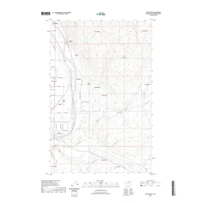
2020 Map of The Pothole
USGS Topo · Published 2020About this map
Riverside and Omak anchor this high-plateau landscape where the Okanogan River carves a deep valley through central Washington. The 2020 terrain is marked by a complex network of local roads and tribal routes, including Omak Riverside Eastside Rd and Moccasin Flat Hud Rd, which navigate the steep descents of Deadhorse Canyon and Swipkin Canyon. To the east, the elevation rises sharply toward The Pothole and the Wanacut Basin, illustrating the stark transition from the irrigated river bottom to the high-desert timberlands. Rural settlements like Cherokee and North Omak appear as clusters along the river's path, while the Riverview Cem and Wings For Christ Airport serve as distinct landmarks in the valley. High-altitude water sources like Bear Lake and Cow Lake sit tucked into the ridges overlooking French Valley and Mission Cr.
Find a feature on this map
57 named features on this map. Tap any name to fly to it.
Don’t see what you’re looking for? This feature index may not catch every label — zoom into the map to look around manually.
Map Details
Editions of this 2020 The Pothole Map
This is the sole edition of this map. No revisions or reprints were ever made.
Other maps of this area

1902 · Osoyoos
USGS Topo · 1:125,000

1904 · Osoyoos
USGS Topo · 1:125,000

1905 · Okanogan
USGS Topo · 1:125,000

1906 · Chopaka
USGS Topo · 1:125,000

1953 · Omak Lake
USGS Topo · 1:62,500

1954 · Okanogan
USGS Topo · 1:250,000

1957 · Okanogan
USGS Topo · 1:62,500

1957 · Conconully
USGS Topo · 1:62,500

1957 · Tonasket
USGS Topo · 1:62,500

1958 · Okanogan
USGS Topo · 1:250,000