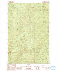
1987 Map of The Rockies
USGS Topo · Published 1993About this map
The Rockies and the surrounding high country of Lewis County are defined by a complex network of glacial headwaters and timber management sites during the late 1980s. This landscape serves as a hydrological divide, where the Nisqually River and the Little Deschutes River originate amidst peaks like Stahl Mountain and Ladd Mountain. The map illustrates the administrative transition between the Snoqualmie National Forest and the Gifford Pinchot National Forest, with a terrain marked by numerous resource extraction sites such as several labeled Borrow Pits and a Quarry. Significant water features like Goose Lake and Duck Lake sit within the drainage basins of Winston Creek and the Tilton River, while the presence of named creeks like Wildcat Creek and Scatter Creek highlights the dense drainage patterns of this Pacific Northwest timberland before modern reforestation changed the visual profile of these mountains.
Find a feature on this map
34 named features on this map. Tap any name to fly to it.
Don’t see what you’re looking for? This feature index may not catch every label — zoom into the map to look around manually.
Map Details
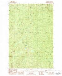
Editions of this 1987 The Rockies Map
2 editions found
Other maps of this area

1937 · Eatonville
USGS Topo · 1:125,000

1941 · Tanwax Lake
USGS Topo · 1:62,500

1944 · Ohop Valley
USGS Topo · 1:62,500

1949 · Ohop Valley
USGS Topo · 1:62,500

1953 · Hoquiam
USGS Topo · 1:250,000

1956 · Mineral
USGS Topo · 1:62,500

1956 · Kapowsin
USGS Topo · 1:62,500

1957 · Hoquiam
USGS Topo · 1:250,000

1957 · Morton
USGS Topo · 1:62,500

1958 · Hoquiam
USGS Topo · 1:250,000