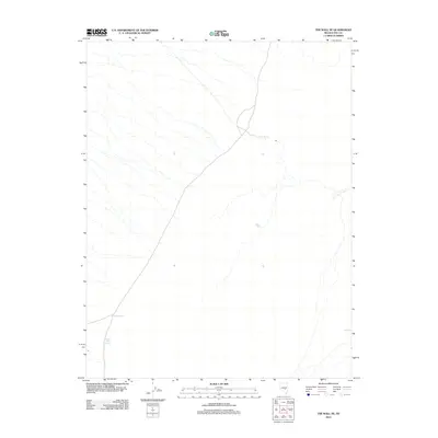
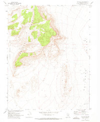
2012 Map of The Wall NE
USGS Topo · Published 2012About this map
Warm Spring serves as a critical watering point in the arid landscape of Nye County, Nevada. This topographic survey captures the sparsely populated terrain where water sources define the geography and movement through the region. In the southwestern portion of the sheet, Storm Spring and Coyote Hole Spring emerge as vital landmarks for those navigating the desert floor. The distribution of these named springs suggests the historical and environmental significance of reliable water in a territory dominated by ephemeral drainage patterns and open range. Modern roadway data provided by TomTom overlays this natural environment, illustrating the sparse but essential transportation network connecting these remote desert points.
Find a feature on this map
3 named features on this map. Tap any name to fly to it.
Don’t see what you’re looking for? This feature index may not catch every label — zoom into the map to look around manually.
Map Details
Editions of this 2012 The Wall NE Map
This is the sole edition of this map. No revisions or reprints were ever made.
Other maps of this area

1956 · Lund
USGS Topo · 1:250,000

1960 · Lund
USGS Topo · 1:250,000
1964 · Blue Eagle Springs
USGS Topo · 1:62,500
1964 · Troy Canyon
USGS Topo · 1:62,500
1968 · Portuguese Mtn
USGS Topo · 1:62,500
1968 · The Wall
USGS Topo · 1:62,500
1968 · Black Rock Summit
USGS Topo · 1:24,000
1968 · The Wall SE
USGS Topo · 1:24,000
1968 · The Wall
USGS Topo · 1:24,000
1968 · The Wall SW
USGS Topo · 1:24,000