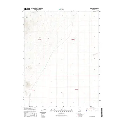
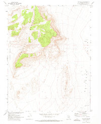
2014 Map of The Wall NE
USGS Topo · Published 2014About this map
Pancake Range dominates the western topography of this Nye County landscape, where the high desert terrain meets the wide valley floors characteristic of the Great Basin. The sparse human footprint is marked primarily by scattered water sources that have long dictated movement through this arid corridor. Vital hydrologic points like Warm Spring, Storm Spring, and Coyote Hole Spring provide the only significant landmarks in a region defined by its vast elevation changes. This 2014 survey documents the enduring spatial arrangement of these springs within the Public Land Survey System grids of t7n r54e, t7n r55e, t6n r54e, and t6n r55e, illustrating how water accessibility remains the primary factor for navigation and land use in Nevada's high interior.
Find a feature on this map
8 named features on this map. Tap any name to fly to it.
Don’t see what you’re looking for? This feature index may not catch every label — zoom into the map to look around manually.
Map Details
Editions of this 2014 The Wall NE Map
This is the sole edition of this map. No revisions or reprints were ever made.
Other maps of this area

1956 · Lund
USGS Topo · 1:250,000

1960 · Lund
USGS Topo · 1:250,000
1964 · Blue Eagle Springs
USGS Topo · 1:62,500
1964 · Troy Canyon
USGS Topo · 1:62,500
1968 · Portuguese Mtn
USGS Topo · 1:62,500
1968 · The Wall
USGS Topo · 1:62,500
1968 · Black Rock Summit
USGS Topo · 1:24,000
1968 · The Wall SE
USGS Topo · 1:24,000
1968 · The Wall
USGS Topo · 1:24,000
1968 · The Wall SW
USGS Topo · 1:24,000