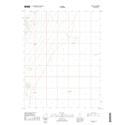
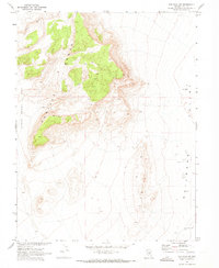
2018 Map of The Wall NE
USGS Topo · Published 2018About this map
Pancake Range slopes dominate the western margin of this interior Nevada landscape, giving way to the expansive flatlands of the Railroad Valley. This 2018 survey documents a remote desert environment where water sources are the primary landmarks for navigation and land use. Small, localized water points including Warm Spring, Storm Spring, and Coyote Hole Spring are carefully noted across the terrain. These springs represent critical survival points in an otherwise arid expanse, tracing a pattern of natural hydrology that has likely dictated human and animal movement through Nye County for generations. The map primarily illustrates the transition from the high relief of the range to the open basins defined by the t7n r54e and t7n r55e township boundaries.
Find a feature on this map
8 named features on this map. Tap any name to fly to it.
Don’t see what you’re looking for? This feature index may not catch every label — zoom into the map to look around manually.
Map Details
Editions of this 2018 The Wall NE Map
This is the sole edition of this map. No revisions or reprints were ever made.
Other maps of this area

1956 · Lund
USGS Topo · 1:250,000

1960 · Lund
USGS Topo · 1:250,000
1964 · Blue Eagle Springs
USGS Topo · 1:62,500
1964 · Troy Canyon
USGS Topo · 1:62,500
1968 · Portuguese Mtn
USGS Topo · 1:62,500
1968 · The Wall
USGS Topo · 1:62,500
1968 · Black Rock Summit
USGS Topo · 1:24,000
1968 · The Wall SE
USGS Topo · 1:24,000
1968 · The Wall
USGS Topo · 1:24,000
1968 · The Wall SW
USGS Topo · 1:24,000