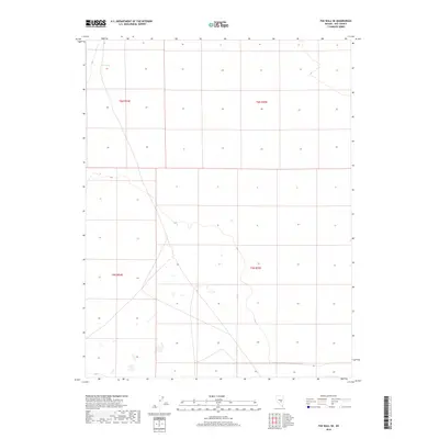
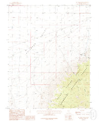
2018 Map of The Wall SE
USGS Topo · Published 2018About this map
Abel Spring provides a rare point of water in this high-desert expanse of Nye County, located in the northern reaches of the sheet. The landscape is defined by the rigid grid of the Public Land Survey System, where the intersections of T6n R54e, T6n R55e, T5n R54e, and T5n R55e meet. This 2018 survey reveals a terrain largely devoid of modern development, preserving the open character of the Great Basin. The sparse labels and high-elevation contours reflect a remote part of Nevada where natural features like the spring were historically vital for navigation and survival in an otherwise arid environment.
Find a feature on this map
5 named features on this map. Tap any name to fly to it.
Don’t see what you’re looking for? This feature index may not catch every label — zoom into the map to look around manually.
Map Details
Editions of this 2018 The Wall SE Map
This is the sole edition of this map. No revisions or reprints were ever made.
Other maps of this area

1956 · Lund
USGS Topo · 1:250,000

1960 · Lund
USGS Topo · 1:250,000
1964 · Troy Canyon
USGS Topo · 1:62,500
1968 · The Wall
USGS Topo · 1:62,500
1968 · The Wall SE
USGS Topo · 1:24,000
1968 · The Wall
USGS Topo · 1:24,000
1968 · The Wall SW
USGS Topo · 1:24,000
1968 · The Wall NE
USGS Topo · 1:24,000
1985 · Goat Ranch Well
USGS Topo · 1:24,000
1985 · Big Creek Ranch
USGS Topo · 1:24,000