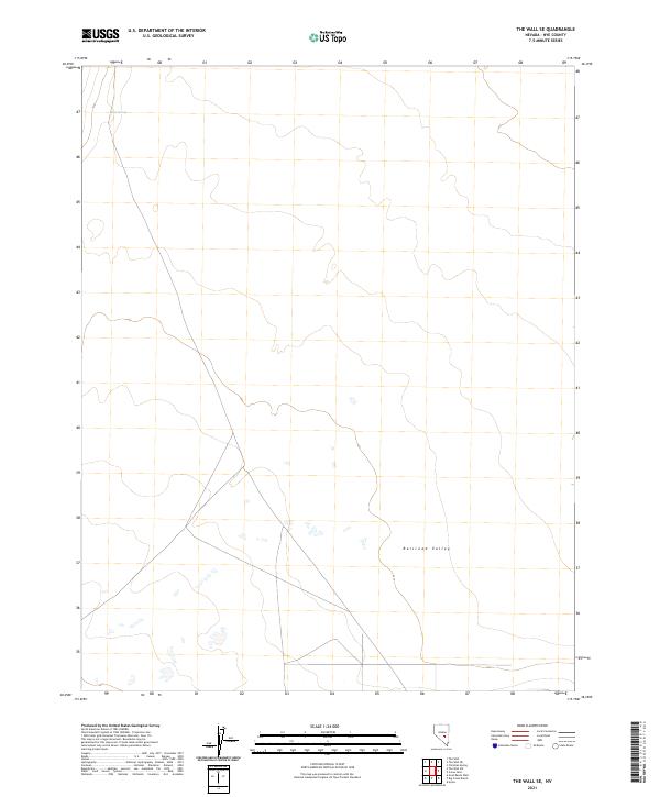
2021 Map of The Wall SE
USGS Topo · Published 2021About this map
Railroad Valley defines the core of this high-desert landscape in Nye County, revealing a vast basin shaped by subtle topographic shifts. The 2021 survey illustrates a region largely defined by the Public Land Survey System, with the boundaries of t6n r54e, t6n r55e, t5n r54e, and t5n r55e providing the primary structure for the terrain. A singular water source, Abel Spring, stands as a critical landmark in the northwestern sector. The map’s reliance on 4WD tracks and sparse local connectors underscores the isolation of this corner of Nevada, where the drainage patterns and historical township lines offer the primary clues for land use and navigation.
Find a feature on this map
6 named features on this map. Tap any name to fly to it.
Don’t see what you’re looking for? This feature index may not catch every label — zoom into the map to look around manually.
Map Details
Editions of this 2021 The Wall SE Map
This is the sole edition of this map. No revisions or reprints were ever made.
Other maps of this area

1956 · Lund
USGS Topo · 1:250,000

1960 · Lund
USGS Topo · 1:250,000

1964 · Troy Canyon
USGS Topo · 1:62,500

1968 · The Wall
USGS Topo · 1:62,500
1968 · The Wall SE
USGS Topo · 1:24,000
1968 · The Wall
USGS Topo · 1:24,000
1968 · The Wall SW
USGS Topo · 1:24,000
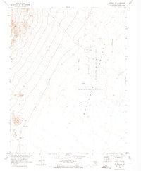
1968 · The Wall NE
USGS Topo · 1:24,000
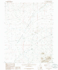
1985 · Goat Ranch Well
USGS Topo · 1:24,000
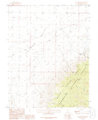
1985 · Big Creek Ranch
USGS Topo · 1:24,000