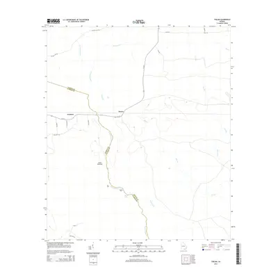
2014 Map of Thelma
USGS Topo · Published 2014About this map
The boundary between Clinch Co and Echols Co follows the winding path of Suwanneechee Cr, carving through the southern Georgia flatlands near the Florida line. This 2014 survey reveals a landscape primarily defined by its hydrography and small, localized settlements like Thelma and Fruitland. These communities are connected by a web of rural tracks and unpaved routes such as Chauncey Rd and Hunting Club Rd, illustrating the persistence of traditional land use and hunting culture in the region.
Find a feature on this map
27 named features on this map. Tap any name to fly to it.
Don’t see what you’re looking for? This feature index may not catch every label — zoom into the map to look around manually.
Map Details
Editions of this 2014 Thelma Map
This is the sole edition of this map. No revisions or reprints were ever made.
Other maps of this area

1954 · Valdosta
USGS Topo · 1:250,000

1958 · Valdosta
USGS Topo · 1:250,000

1959 · Valdosta
USGS Topo · 1:250,000

1968 · Midway
USGS Topo · 1:24,000

1968 · Needmore
USGS Topo · 1:24,000

1968 · Headlight
USGS Topo · 1:24,000

1971 · Thelma
USGS Topo · 1:24,000

1971 · Du Pont
USGS Topo · 1:24,000

1971 · Stockton
USGS Topo · 1:24,000

1971 · Tarver
USGS Topo · 1:24,000