
1903 Map of Theresa
USGS Topo · Published 1903About this map
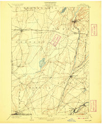
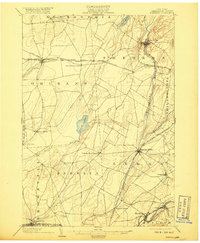
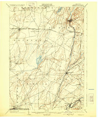
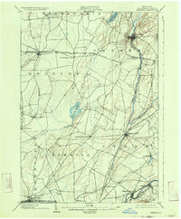
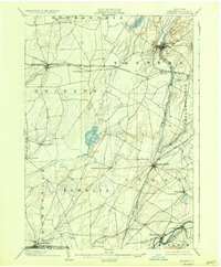
The Indian River and Black River carve through Jefferson County at the dawn of the 20th century, defining a landscape dominated by agriculture and critical railroad junctions. Surveyed in 1900, this topographic work documents the intricate rail network of the New York Central and Hudson River R. R., including its Clayton Branch and the Rome Watertown and Ogdensburg Div. as they intersect at hubs like Theresa Junction.
Find a feature on this map
39 named features on this map. Tap any name to fly to it.
Don’t see what you’re looking for? This feature index may not catch every label — zoom into the map to look around manually.
Map Details
Editions of this 1903 Theresa Map
8 editions found
Other maps of this area

1893 · Sackets Harbor
USGS Topo · 1:62,500

1895 · Sacketts Harbor
USGS Topo · 1:62,500

1895 · Watertown
USGS Topo · 1:62,500

1898 · Watertown
USGS Topo · 1:62,500

1900 · Clayton
USGS Topo · 1:62,500

1902 · Carthage
USGS Topo · 1:62,500

1903 · Grindstone
USGS Topo · 1:62,500

1903 · Clayton
USGS Topo · 1:62,500

1903 · Alexandria Bay
USGS Topo · 1:62,500

1904 · Carthage
USGS Topo · 1:62,500