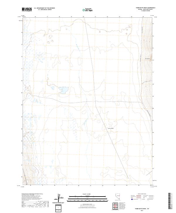
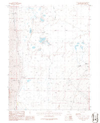
2021 Map of Third Butte West
USGS Topo · Published 2021About this map
Spring Valley defines the core of this high-desert basin in eastern Nevada, where the drainage of Spring Valley Cr and Gordon Cr navigate a landscape of intermittent wetlands and wide alluvial plains. The map illustrates a contemporary rural environment where the infrastructure is primarily limited to essential thoroughfares like Eight Mile Ranch Rd and White Pine Co Road 37. Rising on the eastern edge, the elevation climbs toward Third Butte, providing a sharp contrast to the level valley floor. This survey documents the persistent ranching and hydrological patterns of the region, emphasizing the sparse but vital water sources and historical land divisions of T19N and T18N that continue to shape local land use.
Find a feature on this map
10 named features on this map. Tap any name to fly to it.
Don’t see what you’re looking for? This feature index may not catch every label — zoom into the map to look around manually.
Map Details
Editions of this 2021 Third Butte West Map
This is the sole edition of this map. No revisions or reprints were ever made.
Other maps of this area

1952 · Ely
USGS Topo · 1:125,000

1956 · Ely
USGS Topo · 1:250,000

1959 · Ely
USGS Topo · 1:250,000

1959 · Schell Peaks
USGS Topo · 1:62,500

1963 · Ely
USGS Topo · 1:250,000

1981 · North Schell Peak
USGS Topo · 1:24,000
1981 · South Schell Peak
USGS Topo · 1:24,000
1982 · Kalamazoo Creek
USGS Topo · 1:24,000
1986 · Third Butte West
USGS Topo · 1:24,000
1986 · Yelland Dry Lake
USGS Topo · 1:24,000