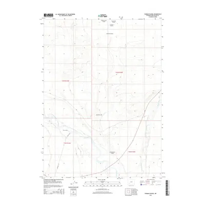
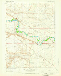
2015 Map of Thoman School
USGS Topo · Published 2015About this map
The Green River and Big Sandy River converge in this high-desert region of Sweetwater County, creating a vital corridor of water and vegetation within a landscape otherwise defined by dry gulches and steep-walled canyons. The confluence of these major water systems provides a focal point for the local geography, surrounded by dramatic features such as Eighteenmile Canyon and Lombard Canyon.
Find a feature on this map
15 named features on this map. Tap any name to fly to it.
Don’t see what you’re looking for? This feature index may not catch every label — zoom into the map to look around manually.
Map Details
Editions of this 2015 Thoman School Map
This is the sole edition of this map. No revisions or reprints were ever made.
Other maps of this area

1954 · Rock Springs
USGS Topo · 1:250,000

1955 · Lander
USGS Topo · 1:250,000

1958 · Lander
USGS Topo · 1:250,000

1958 · Rock Springs
USGS Topo · 1:250,000

1961 · Lander
USGS Topo · 1:250,000

1962 · Rock Springs
USGS Topo · 1:250,000
1963 · Gasson Bridge
USGS Topo · 1:24,000
1963 · Big Island Bridge
USGS Topo · 1:24,000
1963 · Whiskey Buttes
USGS Topo · 1:24,000
1963 · Mc Cullen Bluff
USGS Topo · 1:24,000