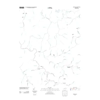
2013 Map of Thomas
USGS Topo · Published 2013About this map
Johns Creek and its many tributary branches weave through this corner of eastern Kentucky, defining a landscape of hollows and ridges during the early 2010s. The settlement pattern follows the narrow valley floors, where small communities like Thomas and McCombs are connected by winding roads such as Brushy Road and McCoy Branch Road. Family history is deeply rooted here, evidenced by several upland burial sites including Kirk Cemetery and Lowe Cemetery.
Find a feature on this map
106 named features on this map. Tap any name to fly to it.
Don’t see what you’re looking for? This feature index may not catch every label — zoom into the map to look around manually.
Map Details
Editions of this 2013 Thomas Map
This is the sole edition of this map. No revisions or reprints were ever made.
Other maps of this area

1886 · Prestonsburg
USGS Topo · 1:125,000

1887 · Warfield
USGS Topo · 1:125,000

1891 · Warfield
USGS Topo · 1:125,000

1892 · Prestonsburg
USGS Topo · 1:125,000

1910 · Naugatuck
USGS Topo · 1:48,000

1912 · Naugatuck
USGS Topo · 1:62,500

1914 · Laynesville
USGS Topo · 1:48,000

1914 · Inez
USGS Topo · 1:48,000

1915 · Williamson
USGS Topo · 1:48,000

1915 · Naugatuck
USGS Topo · 1:48,000