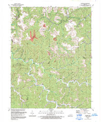
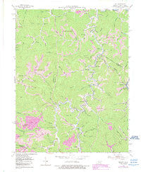
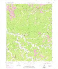
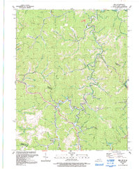
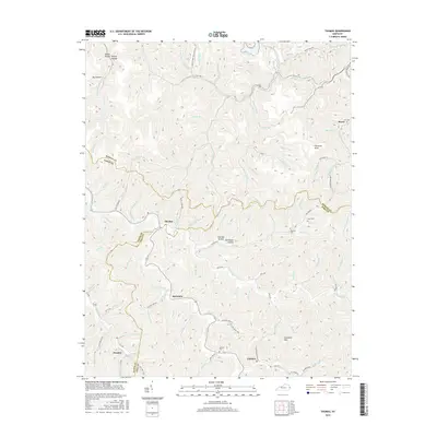
1992 Map of Thomas
USGS Topo · Published 1992About this map
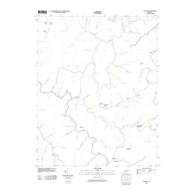
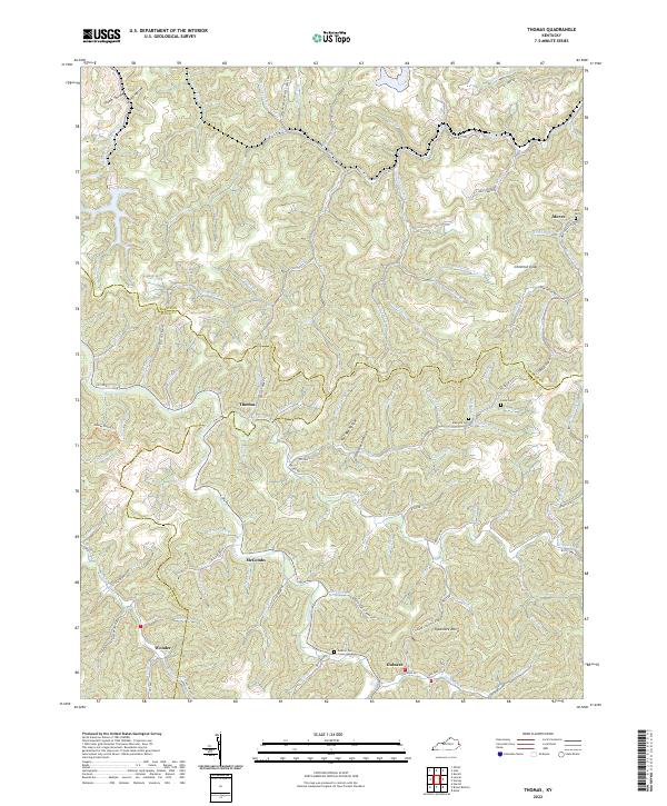
Johns Creek snakes through the heart of this East Kentucky landscape, defining the topography of the region near the meeting of Martin, Floyd, and Pike counties. The valley floors are dotted with small settlements such as McCombs and Jackson, where life centered around the local waterways and the winding roads that followed them. This early 1990s record documents a distinct industrial signature, where an extensive network of conveyors, air shafts, and a tipple serve the coal extraction efforts concentrated near Moree and Aldridge. Along the western edge, the Dewey Lake State Wildlife Management Area occupies the wooded slopes above the creek. The map serves as a detailed guide for those tracing family roots in the hollows, identifying rural landmarks like Big Branch Ch, Piso Ch, and numerous small family cemeteries tucked away on the hillsides.
Find a feature on this map
45 named features on this map. Tap any name to fly to it.
Don’t see what you’re looking for? This feature index may not catch every label — zoom into the map to look around manually.
Map Details
Editions of this 1992 Thomas Map
This is the sole edition of this map. No revisions or reprints were ever made.
Historical Maps of Gulnare Through Time
14 maps found
1954 Milo
Martin County, KY
1954 Thomas
Martin County, KY
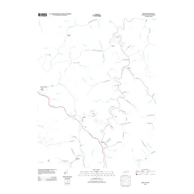
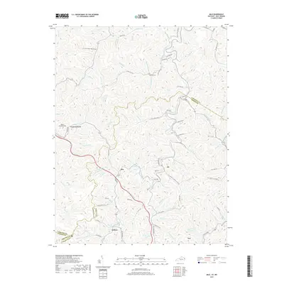
1992 Milo
Martin County, KY
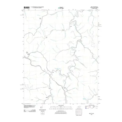
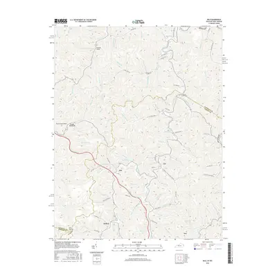
1992 Thomas
Martin County, KY
2010 Milo
Martin County, KY
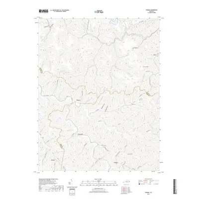
2010 Thomas
Martin County, KY
2013 Milo
Martin County, KY
2013 Thomas
Martin County, KY
2016 Milo
Martin County, KY
2016 Thomas
Martin County, KY
2019 Milo
Martin County, KY
2019 Thomas
Martin County, KY

2022 Milo
Martin County, KY
2022 Thomas
Martin County, KY