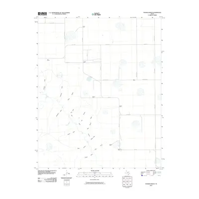
2010 Map of Thomas Ranch
USGS Topo · Published 2010About this map
Palo Duro Canyon and the Prairie Dog Town Fork Red River dominate the southern half of this Randall County landscape, where the flat plains of the Llano Estacado break into a complex system of draws and canyons. The drainage pattern is exceptionally detailed, featuring names such as Nameless Draw, Windmill Draw, and Dugout Draw, illustrating how water has shaped the Panhandle topography over time.
Find a feature on this map
36 named features on this map. Tap any name to fly to it.
Don’t see what you’re looking for? This feature index may not catch every label — zoom into the map to look around manually.
Map Details
Editions of this 2010 Thomas Ranch Map
This is the sole edition of this map. No revisions or reprints were ever made.
Other maps of this area

1954 · Amarillo
USGS Topo · 1:250,000

1954 · Plainview
USGS Topo · 1:250,000

1956 · Fortress Cliff
USGS Topo · 1:24,000

1956 · Amarillo East
USGS Topo · 1:24,000

1956 · Washburn
USGS Topo · 1:24,000

1956 · Thomas Ranch
USGS Topo · 1:24,000

1956 · Pullman
USGS Topo · 1:24,000

1958 · Amarillo
USGS Topo · 1:250,000

1958 · Plainview
USGS Topo · 1:250,000

1960 · Canyon
USGS Topo · 1:62,500