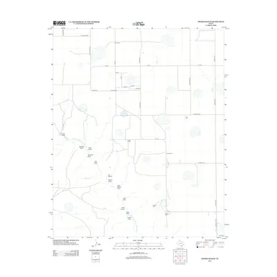
2012 Map of Thomas Ranch
USGS Topo · Published 2012About this map
The Prairie Dog Town Fork Red River carves a deep, winding path through this portion of Randall County, creating a complex network of drainage systems. The landscape is defined by its deep incisions and canyons, including Flat Canyon, Deep Canyon, and Chalk Hollow, which drop away from the surrounding high plains. Numerous draws like Windmill Draw, Dugout Draw, and Blue Spring Draw point to a terrain shaped by intermittent water flow and erosion, where small features like Little Falls mark the descent into the river valley.
Find a feature on this map
39 named features on this map. Tap any name to fly to it.
Don’t see what you’re looking for? This feature index may not catch every label — zoom into the map to look around manually.
Map Details
Editions of this 2012 Thomas Ranch Map
This is the sole edition of this map. No revisions or reprints were ever made.
Other maps of this area
1954 · Amarillo
USGS Topo · 1:250,000
1954 · Plainview
USGS Topo · 1:250,000
1956 · Fortress Cliff
USGS Topo · 1:24,000
1956 · Amarillo East
USGS Topo · 1:24,000
1956 · Washburn
USGS Topo · 1:24,000
1956 · Thomas Ranch
USGS Topo · 1:24,000
1956 · Pullman
USGS Topo · 1:24,000
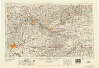
1958 · Amarillo
USGS Topo · 1:250,000
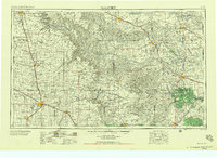
1958 · Plainview
USGS Topo · 1:250,000
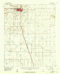
1960 · Canyon
USGS Topo · 1:62,500