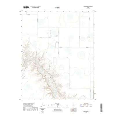
2019 Map of Thomas Ranch
USGS Topo · Published 2019About this map
Palo Duro Canyon dominates the southwestern portion of this map, where the dramatic incision of the Texas Panhandle landscape reveals a complex network of draws and canyons. The Prairie Dog Town Fork Red River snakes through the deep valley floor, fed by seasonal drainage points such as Blue Spring Draw. This rugged topography provides a stark contrast to the flat upland plains to the north and east, where ranching infrastructure and local roads define the land use. The eponymous Thomas Ranch is situated on these high plains, serving as a primary landmark for the area's rural development. The alignment of roads and property boundaries here reflects the systematic surveying of the Llano Estacado, maintaining a grid-like pattern until interrupted by the sudden drop into the canyon system.
Find a feature on this map
4 named features on this map. Tap any name to fly to it.
Don’t see what you’re looking for? This feature index may not catch every label — zoom into the map to look around manually.
Map Details
Editions of this 2019 Thomas Ranch Map
This is the sole edition of this map. No revisions or reprints were ever made.
Other maps of this area
1954 · Amarillo
USGS Topo · 1:250,000
1954 · Plainview
USGS Topo · 1:250,000
1956 · Fortress Cliff
USGS Topo · 1:24,000
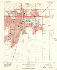
1956 · Amarillo East
USGS Topo · 1:24,000
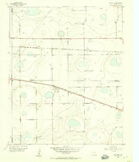
1956 · Washburn
USGS Topo · 1:24,000
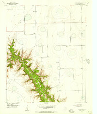
1956 · Thomas Ranch
USGS Topo · 1:24,000
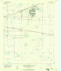
1956 · Pullman
USGS Topo · 1:24,000
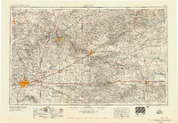
1958 · Amarillo
USGS Topo · 1:250,000
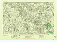
1958 · Plainview
USGS Topo · 1:250,000
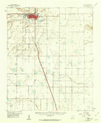
1960 · Canyon
USGS Topo · 1:62,500