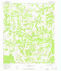
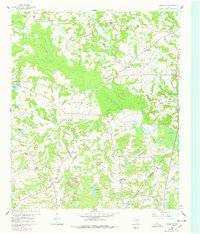
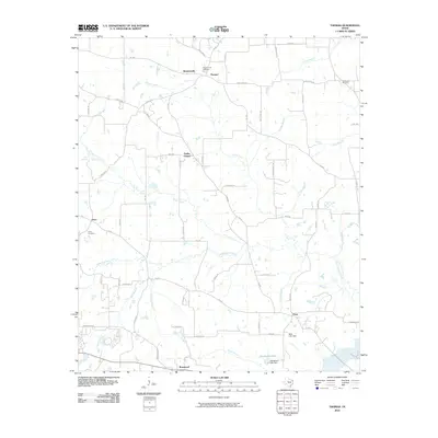
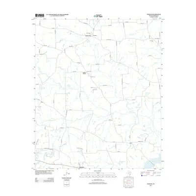
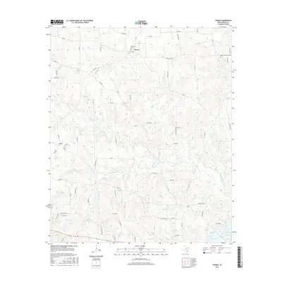
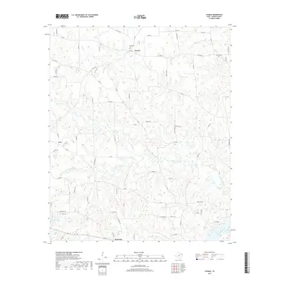
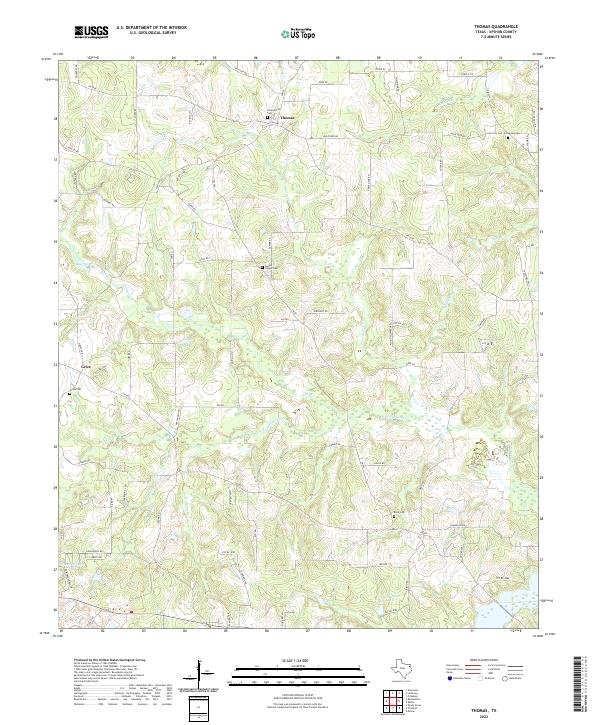
1960 Map of Thomas
USGS Topo · Published 1962About this map
The community of Thomas and the surrounding Upshur County landscape are characterized by a network of small family-centered settlements and rural institutions in the early 1960s. The geography is defined by the drainage patterns of Prairie Creek and Little Cypress Creek, which create a series of low ridges where many of the area’s historically significant structures are located. Local life centers on landmarks such as Soules Chapel, Enon Ch, and the Harmony Sch, reflecting a post-war era of established rural communities before significant modern consolidation.
Find a feature on this map
31 named features on this map. Tap any name to fly to it.
Don’t see what you’re looking for? This feature index may not catch every label — zoom into the map to look around manually.
Map Details
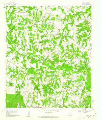
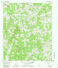
Editions of this 1960 Thomas Map
3 editions found
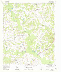
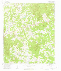
Historical Maps of Grice Through Time
30 maps found
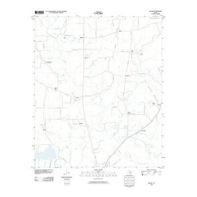
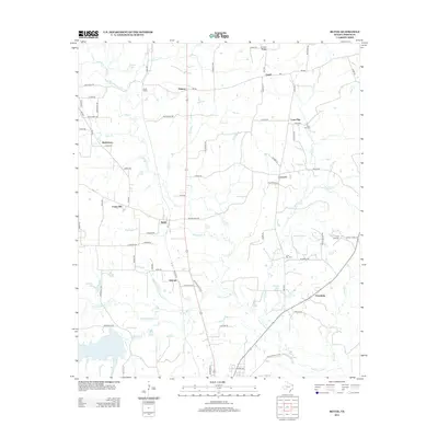
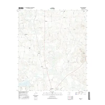
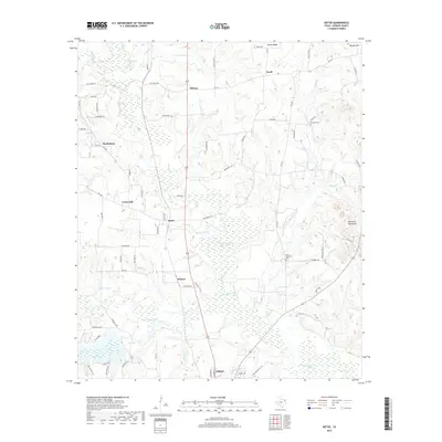
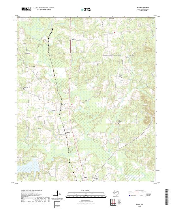
1960 Bettie
Upshur County, TX
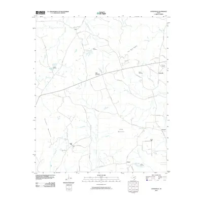
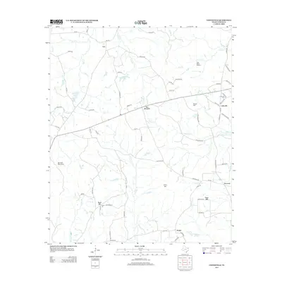
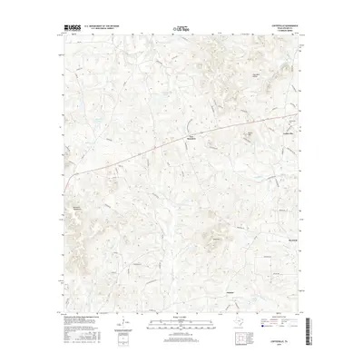
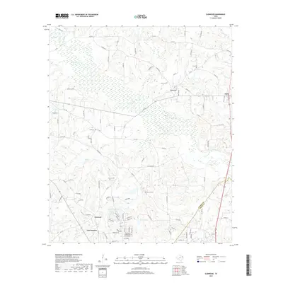
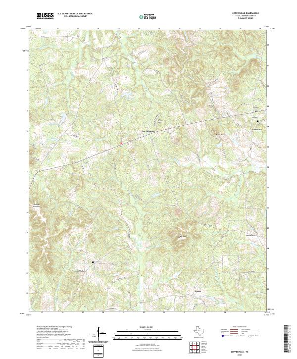
1960 Coffeeville
Upshur County, TX
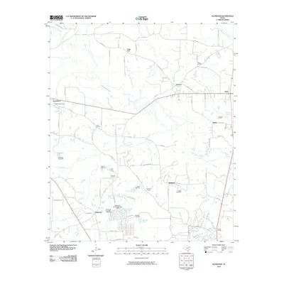
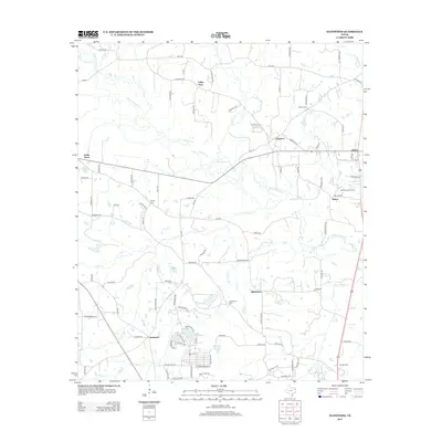
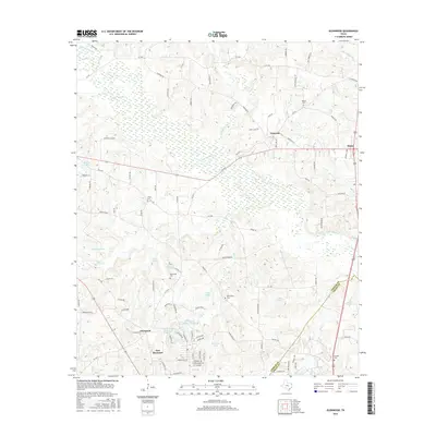
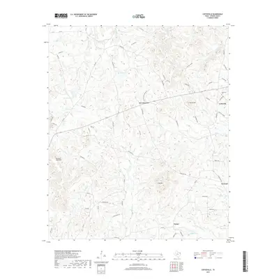
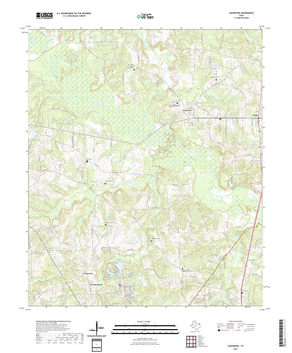
1960 Glenwood
Upshur County, TX
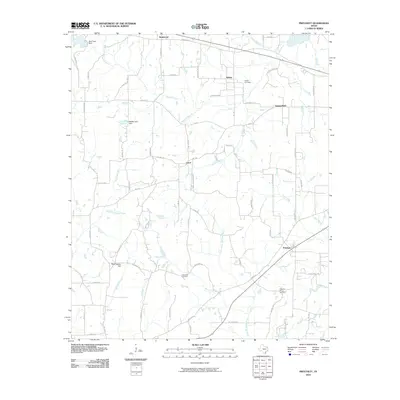
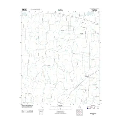
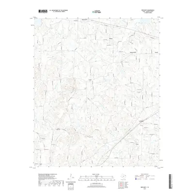
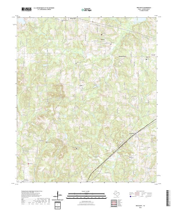
1960 Pritchett
Upshur County, TX

1960 Thomas
Upshur County, TX
2010 Bettie
Upshur County, TX
2010 Coffeeville
Upshur County, TX
2010 Glenwood
Upshur County, TX
2010 Pritchett
Upshur County, TX
2010 Thomas
Upshur County, TX
2012 Pritchett
Upshur County, TX
2012 Thomas
Upshur County, TX
2013 Bettie
Upshur County, TX
2013 Coffeeville
Upshur County, TX
2013 Glenwood
Upshur County, TX
2016 Bettie
Upshur County, TX
2016 Coffeeville
Upshur County, TX
2016 Glenwood
Upshur County, TX

2016 Pritchett
Upshur County, TX
2016 Thomas
Upshur County, TX
2019 Bettie
Upshur County, TX
2019 Coffeeville
Upshur County, TX
2019 Glenwood
Upshur County, TX
2019 Pritchett
Upshur County, TX
2019 Thomas
Upshur County, TX
2022 Bettie
Upshur County, TX
2022 Coffeeville
Upshur County, TX
2022 Glenwood
Upshur County, TX
2022 Pritchett
Upshur County, TX
2022 Thomas
Upshur County, TX