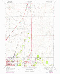
1998 Map of Thomasboro
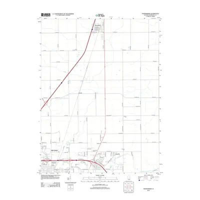
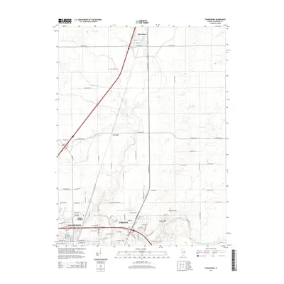
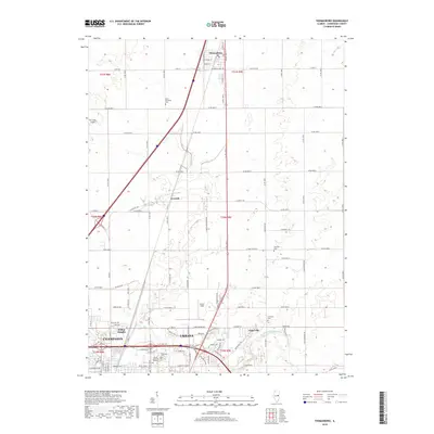
USGS Topo · Published 2002About this map
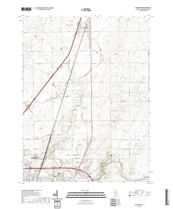
The Illinois Central Railroad serves as a primary north-south spine through the heart of Thomasboro and south toward the expanding northern reaches of Champaign and Urbana. This late-twentieth-century landscape reveals the collision of agrarian tradition and suburban expansion, where township lines for Condit, Rantoul, and Somer encompass vast fields drained by the Saline Branch and a prominent Drainage Ditch. Local history is anchored by several small burial grounds and rural institutions, including St Elizabeth Cem and Yearsley Cem, alongside the remote Carley Ch. To the south, the industrial and aviation footprint grows more complex near Wilbur Heights, where the Illini Airport and local Gravel Pit operations sit between major highway interchanges. The map captures a moment when smaller settlements like Leverett and Augerville remained distinct points on the map amidst the rising urban density of the Urbana TWP border.
Find a feature on this map
32 named features on this map. Tap any name to fly to it.
Don’t see what you’re looking for? This feature index may not catch every label — zoom into the map to look around manually.
Map Details
Editions of this 1998 Thomasboro Map
This is the sole edition of this map. No revisions or reprints were ever made.
Historical Maps of Champaign Through Time
8 maps found