
1956 Map of Thomaston
USGS Topo · Published 1957About this map
The Porcupine Mountains dominate the northern terrain of this Upper Peninsula survey, rising above the shores of Lake Superior. This mid-century landscape is defined by the heavy presence of the timber and transport industries, with the Duluth South Shore and Atlantic and Chicago and North Western railroads cutting across the southern half of the quadrangle. These rails served a network of small sidings and junctions such as Manley Siding, Tula, and Jack Spur, which were essential for moving resources out of the Ottawa National Forest.
Find a feature on this map
77 named features on this map. Tap any name to fly to it.
Don’t see what you’re looking for? This feature index may not catch every label — zoom into the map to look around manually.
Map Details
Editions of this 1956 Thomaston Map
4 editions found
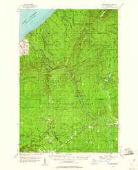
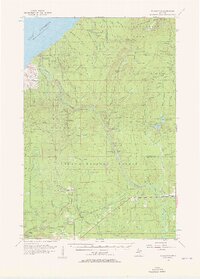
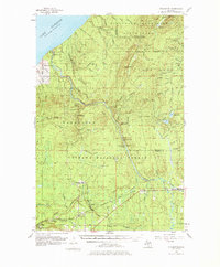
Other maps of this area

1943 · Ironwood
USGS Topo · 1:48,000

1953 · Ashland
USGS Topo · 1:250,000

1955 · Marenisco
USGS Topo · 1:62,500

1955 · Marenisco
USGS Topo · 1:24,000

1955 · Bessemer
USGS Topo · 1:24,000

1955 · Wakefield
USGS Topo · 1:24,000

1955 · Wakefield
USGS Topo · 1:62,500

1955 · Wakefield NE
USGS Topo · 1:24,000

1955 · Ironwood
USGS Topo · 1:62,500

1956 · Carp River
USGS Topo · 1:62,500
Featured Places
- Ironwood Township, MI
- Wakefield Township, MI
- Carp Lake Township, MI
- Planter, Wakefield Township
- Tula, Wakefield Township