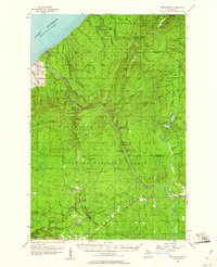
1956 Map of Thomaston
USGS Topo · Published 1961About this map
Porcupine Mountains rise sharply from the southern shore of Lake Superior, defining the northern edge of this Upper Peninsula landscape. Within Porcupine Mountains State Park, landmarks like Porcupine Peak and Lookout Mountain stand alongside remote outposts such as the Section 17 Cabin and the Underwood Lookout Tower. The terrain is deeply carved by water, featuring numerous drops including Explorers Falls and Trappers Falls along the Little Carp River.
Find a feature on this map
81 named features on this map. Tap any name to fly to it.
Don’t see what you’re looking for? This feature index may not catch every label — zoom into the map to look around manually.
Map Details
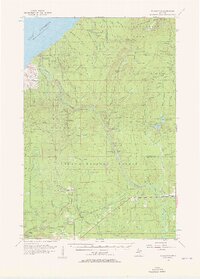
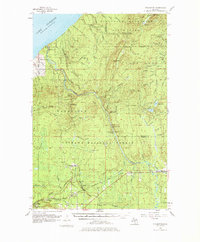
Editions of this 1956 Thomaston Map
4 editions found

Other maps of this area

1943 · Ironwood
USGS Topo · 1:48,000

1953 · Ashland
USGS Topo · 1:250,000

1955 · Marenisco
USGS Topo · 1:62,500

1955 · Marenisco
USGS Topo · 1:24,000

1955 · Bessemer
USGS Topo · 1:24,000

1955 · Wakefield
USGS Topo · 1:24,000

1955 · Wakefield
USGS Topo · 1:62,500

1955 · Wakefield NE
USGS Topo · 1:24,000

1955 · Ironwood
USGS Topo · 1:62,500

1956 · Carp River
USGS Topo · 1:62,500