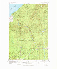
1956 Map of Thomaston
USGS Topo · Published 1977About this map
The Presque Isle River carves a dramatic path through the western Upper Peninsula, flowing northward toward Lake Superior through a series of significant cascades including Manabezho Falls, Manido Falls, and Nawadaha Falls. This mid-century landscape is defined by the intersection of industrial transport and conservation, where the Ottawa National Forest and Porcupine Mountains State Park protect the timberlands and terrain around Porcupine Peak.
Find a feature on this map
84 named features on this map. Tap any name to fly to it.
Don’t see what you’re looking for? This feature index may not catch every label — zoom into the map to look around manually.
Map Details
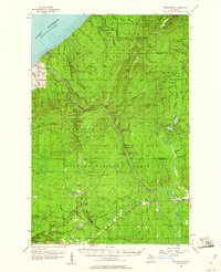
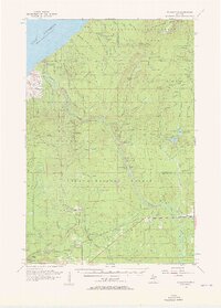
Editions of this 1956 Thomaston Map
4 editions found

Other maps of this area

1943 · Ironwood
USGS Topo · 1:48,000

1953 · Ashland
USGS Topo · 1:250,000

1955 · Marenisco
USGS Topo · 1:62,500

1955 · Marenisco
USGS Topo · 1:24,000

1955 · Bessemer
USGS Topo · 1:24,000

1955 · Wakefield
USGS Topo · 1:24,000

1955 · Wakefield
USGS Topo · 1:62,500

1955 · Wakefield NE
USGS Topo · 1:24,000

1955 · Ironwood
USGS Topo · 1:62,500

1956 · Carp River
USGS Topo · 1:62,500