
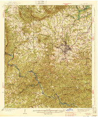
1939 Map of Thomaston
USGS Topo · Published 1939About this map
Silvertown and the surrounding textile community of Thomaston anchor this 1930s survey, revealing a landscape defined by industrial milling and the Central of Georgia rail corridor. The map details an era of agricultural transition, where family-named locales like McCrary Settlement and Jones Settlement persist alongside numerous rural schools such as Rocky Mount Sch and Smith Academy.
Find a feature on this map
109 named features on this map. Tap any name to fly to it.
Don’t see what you’re looking for? This feature index may not catch every label — zoom into the map to look around manually.
Map Details
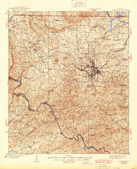
Editions of this 1939 Thomaston Map
3 editions found
Other maps of this area

1907 · Talbotton
USGS Topo · 1:125,000

1934 · Warm Springs
USGS Topo · 1:62,500

1935 · Thomaston
USGS Topo · 1:48,000

1936 · Warm Springs
USGS Topo · 1:62,500

1950 · Talbotton
USGS Topo · 1:24,000

1950 · Talbotton
USGS Topo · 1:62,500

1951 · Yatesville
USGS Topo · 1:62,500

1951 · Barnesville
USGS Topo · 1:62,500

1953 · Atlanta
USGS Topo · 1:250,000

1955 · Talbotton
USGS Topo · 1:24,000