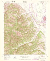
1949 Map of Thompson Canyon
USGS Topo · Published 1979About this map
King City sits at the northeastern edge of this topographic study, serving as a vital hub along the Southern Pacific railroad and the Salinas River. The landscape is defined by the sharp transition from the flat agricultural plains of Central Avenue and the valley floor to the complex drainage systems of the Santa Lucia Range. Large land grants and ranching boundaries are evident in the demarcations of San Lorenzo (Soberanes) and San Bernabe, reflecting the region’s deep Spanish and Mexican heritage. To the southwest, the terrain rises into a series of deep ravines, including Thompson Canyon and Monroe Canyon. Small-scale historical markers like the Cem and isolated ruins offer clues for local genealogists and historians tracing early 20th-century life in Monterey County.
Find a feature on this map
17 named features on this map. Tap any name to fly to it.
Don’t see what you’re looking for? This feature index may not catch every label — zoom into the map to look around manually.
Map Details
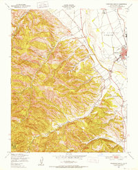
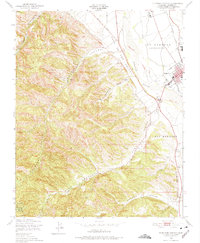
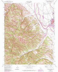
Editions of this 1949 Thompson Canyon Map
4 editions found
Other maps of this area

1912 · Metz
USGS Topo · 1:31,680

1915 · Soledad
USGS Topo · 1:62,500

1919 · King City
USGS Topo · 1:62,500

1919 · Junipero Serra
USGS Topo · 1:62,500

1921 · Metz
USGS Topo · 1:62,500

1939 · King City
USGS Topo · 1:62,500

1940 · Metz
USGS Topo · 1:62,500

1940 · Soledad
USGS Topo · 1:62,500

1941 · Junipero Serra
USGS Topo · 1:62,500

1947 · Metz
USGS Topo · 1:62,500