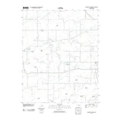
2010 Map of Thompson Corner
USGS Topo · Published 2010About this map
Shady Grove sits at the heart of this landscape, a settlement defined by its position among the many hills and ridges of Cherokee County. The terrain is marked by family-named landmarks and high points such as Stick Ross Mountain, Ogles Mountain, and Bynum Ridge, which overlook the winding paths of Fourteenmile Creek and Double Spring Creek. This 2010 survey records a rural infrastructure of county roads connecting isolated homesteads and several community burial grounds, including Parris Cemetery and Houston Cemetery. The eastern edge of the quadrangle shows the expansion of local aviation with the Tahlequah Municipal Airport, while the central portion is dominated by water management features like the Oknoname 021001 Reservoir. Numerous natural springs, such as Ketcher Spring and Seminary Spring, suggest a landscape where water sources historically dictated the pattern of local homesteading.
Find a feature on this map
51 named features on this map. Tap any name to fly to it.
Don’t see what you’re looking for? This feature index may not catch every label — zoom into the map to look around manually.
Map Details
Editions of this 2010 Thompson Corner Map
This is the sole edition of this map. No revisions or reprints were ever made.
Other maps of this area

1896 · Pryor
USGS Topo · 1:125,000

1898 · Tahlequah
USGS Topo · 1:125,000

1899 · Siloam Springs
USGS Topo · 1:125,000

1901 · Muscogee
USGS Topo · 1:125,000

1901 · Pryor
USGS Topo · 1:125,000

1901 · Tahlequah
USGS Topo · 1:125,000

1903 · Siloam Springs
USGS Topo · 1:125,000

1904 · Siloam Springs
USGS Topo · 1:125,000

1905 · Muscogee
USGS Topo · 1:125,000

1905 · Tahlequah
USGS Topo · 1:125,000