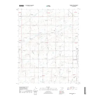
2019 Map of Thompson Corner
USGS Topo · Published 2019About this map
Tahlequah serves as the focal point for this western Cherokee County landscape, where the foothills and creek valleys of the Ozark Plateau meet the expanding urban edges of the city. The terrain is defined by a series of prominent elevations named for local families and landmarks, including Thompson Mtn, Hawkins Mtn, and Stick Ross Mtn. Water sources are abundant, from the flowing Double Spring Creek to Ketcher Spring and Seminary Spring. This map records several small, localized communities such as Shady Grove and Hulbert. Genealogists and local historians can locate numerous rural burial grounds, including the Swimmer Baptist Cem, Parris Cem, and Crittenden Cem, which alongside landmarks like the Tahlequah Municipal Airport, demonstrate the intersection of traditional Cherokee County settlements with modern infrastructure.
Find a feature on this map
77 named features on this map. Tap any name to fly to it.
Don’t see what you’re looking for? This feature index may not catch every label — zoom into the map to look around manually.
Map Details
Editions of this 2019 Thompson Corner Map
This is the sole edition of this map. No revisions or reprints were ever made.
Other maps of this area
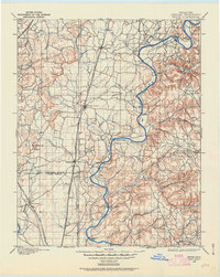
1896 · Pryor
USGS Topo · 1:125,000
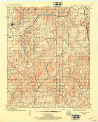
1898 · Tahlequah
USGS Topo · 1:125,000
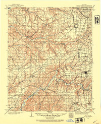
1899 · Siloam Springs
USGS Topo · 1:125,000
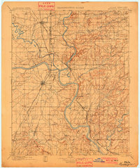
1901 · Muscogee
USGS Topo · 1:125,000
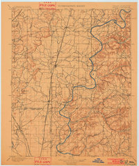
1901 · Pryor
USGS Topo · 1:125,000
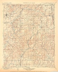
1901 · Tahlequah
USGS Topo · 1:125,000
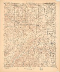
1903 · Siloam Springs
USGS Topo · 1:125,000
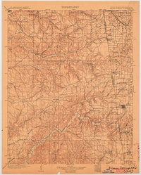
1904 · Siloam Springs
USGS Topo · 1:125,000
1905 · Muscogee
USGS Topo · 1:125,000
1905 · Tahlequah
USGS Topo · 1:125,000